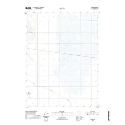
2020 Map of Jackson
USGS Topo · Published 2020About this map
The high desert landscape of Box Elder County is defined by solitary peaks and isolated settlements in this 2020 study. Jackson stands as a primary point of reference in an area dominated by the relief of the Little Pigeon Mountains and the distinct elevation of Pigeon Mtn. The transport network is sparse, centered primarily on the winding path of Little Pigeon Rd as it skirts the southern foothills. This map documents a modern view of a region characterized by its open basins and the stark verticality of its namesake peaks, which have long served as landmarks for travelers crossing this portion of the Great Basin.
Find a feature on this map
4 named features on this map. Tap any name to fly to it.
Don’t see what you’re looking for? This feature index may not catch every label — zoom into the map to look around manually.
Map Details
Editions of this 2020 Jackson Map
This is the sole edition of this map. No revisions or reprints were ever made.
Other maps of this area

1954 · Brigham City
USGS Topo · 1:250,000

1958 · Brigham City
USGS Topo · 1:250,000

1962 · Brigham City
USGS Topo · 1:250,000

1967 · Pigeon Mountain
USGS Topo · 1:24,000

1967 · Lucin NE
USGS Topo · 1:24,000

1967 · Lemay Island
USGS Topo · 1:24,000

1983 · Jackson
USGS Topo · 1:24,000

1983 · Bovine SE
USGS Topo · 1:24,000

1983 · Terrace Mountain West
USGS Topo · 1:24,000

1983 · Lucin 4 NE
USGS Topo · 1:24,000