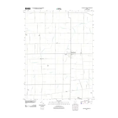
2010 Map of Jackson Center
USGS Topo · Published 2010About this map
Jackson Center serves as the primary hub of this 2010 survey, which details a landscape defined by an extensive grid of country roads and agricultural drainage. Small outlying settlements like Montra and Maplewood anchor the southern portion of the quadrangle, connected by a network that includes the Tawawa Maplewood Rd and Pasco Montra Rd. The drainage system is particularly intricate here, with named waterways such as Little Muchinippi Creek, Jackson Center Creek, and several man-made channels like Baughman Ditch and Shroyer Ditch supporting the region's farming heritage.
Find a feature on this map
54 named features on this map. Tap any name to fly to it.
Don’t see what you’re looking for? This feature index may not catch every label — zoom into the map to look around manually.
Map Details
Editions of this 2010 Jackson Center Map
This is the sole edition of this map. No revisions or reprints were ever made.
Other maps of this area

1906 · Lima
USGS Topo · 1:62,500

1913 · Alger
USGS Topo · 1:48,000

1913 · Bellefontaine
USGS Topo · 1:48,000

1913 · Sidney
USGS Topo · 1:62,500

1915 · Alger
USGS Topo · 1:62,500

1915 · Bellefontaine
USGS Topo · 1:62,500

1943 · Alger
USGS Topo · 1:62,500

1944 · Sidney
USGS Topo · 1:62,500

1944 · Bellefontaine
USGS Topo · 1:62,500

1950 · Marion
USGS Topo · 1:250,000