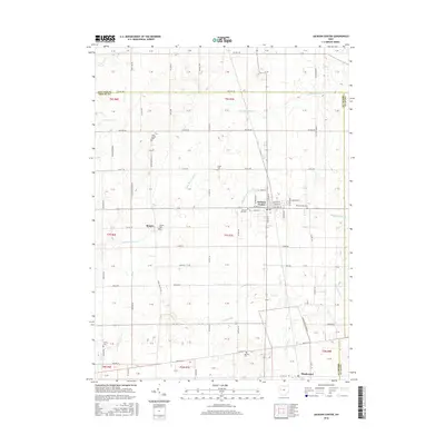
2016 Map of Jackson Center
USGS Topo · Published 2016About this map
Jackson Center serves as the primary hub of this west-central Ohio landscape, situated at the intersection of a grid-iron road system and localized drainage networks. The settlement patterns shown here reflect the region's deep agricultural roots and early community organization, particularly visible through the distribution of rural burial grounds like Saint Jacobs Cem and Elliott Cem. The town itself is centered on the junction of N Main St and W Pike St, with Airstream Dr hinting at the local industrial presence.
Find a feature on this map
74 named features on this map. Tap any name to fly to it.
Don’t see what you’re looking for? This feature index may not catch every label — zoom into the map to look around manually.
Map Details
Editions of this 2016 Jackson Center Map
This is the sole edition of this map. No revisions or reprints were ever made.
Other maps of this area

1906 · Lima
USGS Topo · 1:62,500

1913 · Alger
USGS Topo · 1:48,000

1913 · Bellefontaine
USGS Topo · 1:48,000

1913 · Sidney
USGS Topo · 1:62,500

1915 · Alger
USGS Topo · 1:62,500

1915 · Bellefontaine
USGS Topo · 1:62,500

1943 · Alger
USGS Topo · 1:62,500

1944 · Sidney
USGS Topo · 1:62,500

1944 · Bellefontaine
USGS Topo · 1:62,500

1950 · Marion
USGS Topo · 1:250,000