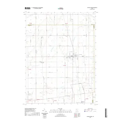
2019 Map of Jackson Center
USGS Topo · Published 2019About this map
Jackson Center serves as the primary hub of activity in this northern Shelby County landscape, where the village's street grid expands around N Main St and S Main St. The surrounding countryside is defined by an intricate network of agricultural drainage and small waterways, including the winding Little Muchinippi Cr, Jackson Center Cr, and the Howell Ditch. These watercourses dictate the placement of local roads and historic landmarks throughout the township ranges.
Find a feature on this map
78 named features on this map. Tap any name to fly to it.
Don’t see what you’re looking for? This feature index may not catch every label — zoom into the map to look around manually.
Map Details
Editions of this 2019 Jackson Center Map
This is the sole edition of this map. No revisions or reprints were ever made.
Other maps of this area

1906 · Lima
USGS Topo · 1:62,500

1913 · Alger
USGS Topo · 1:48,000

1913 · Bellefontaine
USGS Topo · 1:48,000

1913 · Sidney
USGS Topo · 1:62,500

1915 · Alger
USGS Topo · 1:62,500

1915 · Bellefontaine
USGS Topo · 1:62,500

1943 · Alger
USGS Topo · 1:62,500

1944 · Sidney
USGS Topo · 1:62,500

1944 · Bellefontaine
USGS Topo · 1:62,500

1950 · Marion
USGS Topo · 1:250,000