
1955 Map of Jackson
USGS Topo · Published 1955About this map
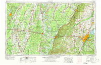
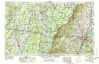
The Mississippi River carves a complex, winding boundary between Louisiana and Mississippi, anchoring a landscape defined by its alluvial floodplains and sprawling river-and-rail economies. In the mid-1950s, the state capital of Jackson serves as a major transportation hub, where the Gulf, Mobile and Ohio Railroad and the Illinois Central Railroad converge amidst expanding urban reaches like Clinton and Ridgeland. To the west, the deeply etched bluffs at Vicksburg overlook the river's massive meanders, including the prominent Eagle Lake.
Find a feature on this map
97 named features on this map. Tap any name to fly to it.
Don’t see what you’re looking for? This feature index may not catch every label — zoom into the map to look around manually.
Map Details
Editions of this 1955 Jackson Map
3 editions found
Other maps of this area

1903 · Jackson
USGS Topo · 1:125,000

1905 · Jackson
USGS Topo · 1:48,000

1906 · Florence
USGS Topo · 1:62,500

1908 · Jackson
USGS Topo · 1:62,500

1908 · Florence
USGS Topo · 1:62,500

1909 · Delta Bridge
USGS Topo · 1:24,000

1909 · Lake Bruen
USGS Topo · 1:24,000

1909 · Baxter Bayou
USGS Topo · 1:24,000

1909 · Millikens Bend
USGS Topo · 1:24,000

1909 · Lake Providence
USGS Topo · 1:24,000