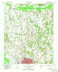
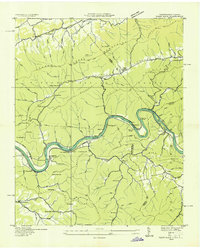
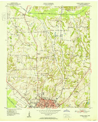
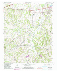
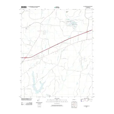
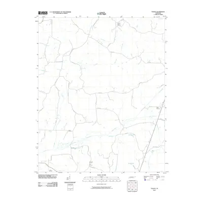
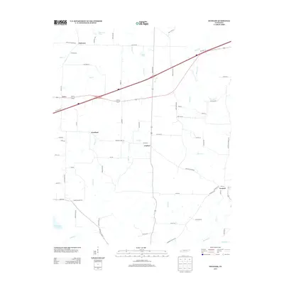
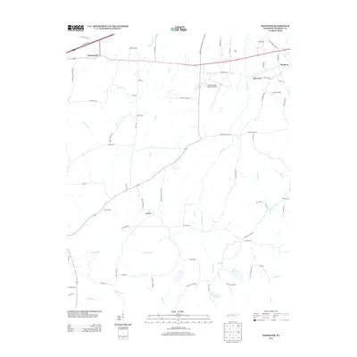
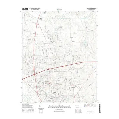
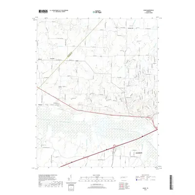
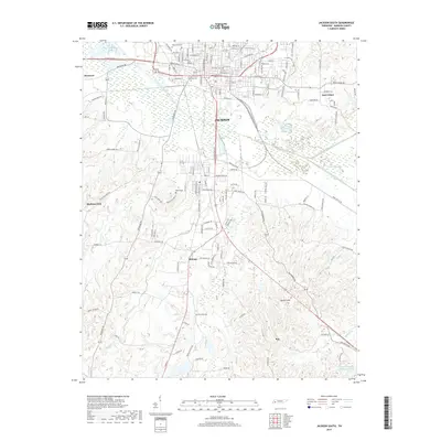
1950 Map of Jackson North
USGS Topo · Published 1971About this map
Jackson and its northern expansion anchor this landscape, appearing just before the post-war suburban shift fully transformed the outskirts of Madison County. The map captures the city's established core, including the campus of Lane College and the General Hospital, while the northern reach shows a patchwork of rural school districts and family cemeteries. Significant industrial activity is evident at the Brick Kilns near Gilmore, while residential pockets like Hicksville and Westwood Gardens begin to bridge the gap between the city center and the agrarian north.
Find a feature on this map
60 named features on this map. Tap any name to fly to it.
Don’t see what you’re looking for? This feature index may not catch every label — zoom into the map to look around manually.
Map Details
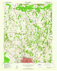
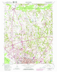
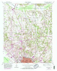
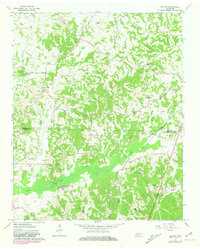
Editions of this 1950 Jackson North Map
5 editions found
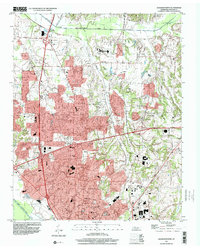
Historical Maps of Jackson Through Time
46 maps found
1935 Paint Rock
Madison County, TN
1940 Paint Rock
Madison County, TN
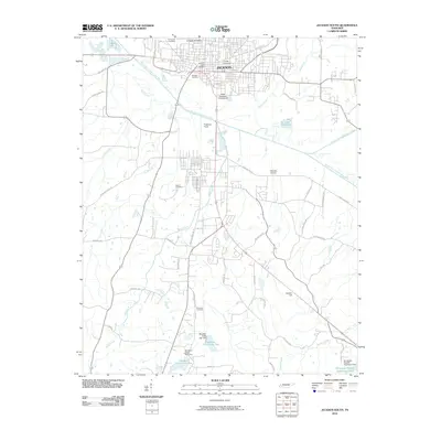
1950 Jackson North
Madison County, TN
1950 Jackson South
Madison County, TN
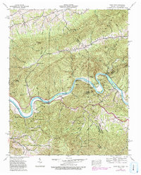
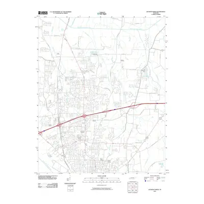
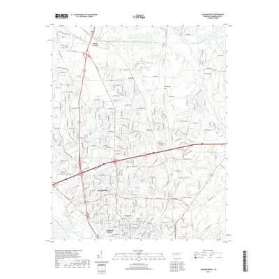
1951 Jackson North
Madison County, TN
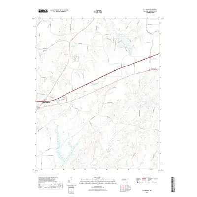
1953 Claybrook
Madison County, TN
1959 Adair
Madison County, TN
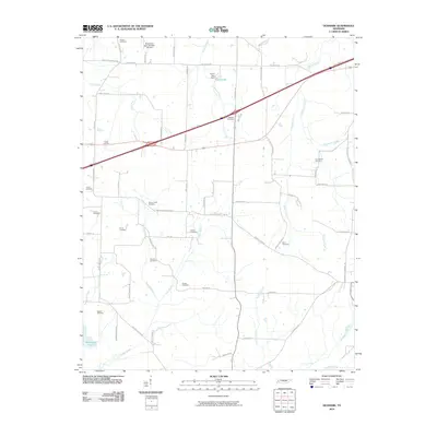
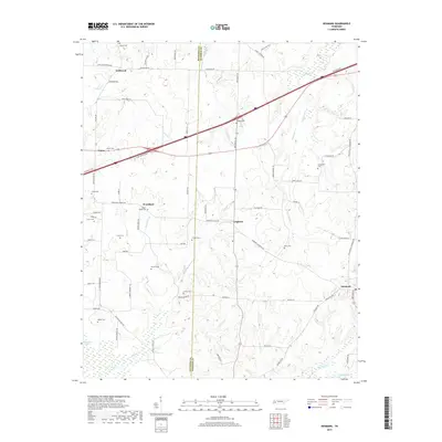
1959 Denmark
Madison County, TN
1959 Westover
Madison County, TN
1961 Teague
Madison County, TN
1997 Jackson North
Madison County, TN
2010 Adair
Madison County, TN
2010 Claybrook
Madison County, TN
2010 Denmark
Madison County, TN
2010 Jackson North
Madison County, TN
2010 Jackson South
Madison County, TN
2010 Teague
Madison County, TN
2010 Westover
Madison County, TN
2013 Adair
Madison County, TN
2013 Claybrook
Madison County, TN
2013 Denmark
Madison County, TN
2013 Jackson North
Madison County, TN
2013 Jackson South
Madison County, TN
2013 Teague
Madison County, TN
2013 Westover
Madison County, TN
2016 Adair
Madison County, TN
2016 Claybrook
Madison County, TN
2016 Denmark
Madison County, TN
2016 Jackson North
Madison County, TN
2016 Jackson South
Madison County, TN
2016 Teague
Madison County, TN
2016 Westover
Madison County, TN
2019 Adair
Madison County, TN
2019 Claybrook
Madison County, TN
2019 Denmark
Madison County, TN
2019 Jackson North
Madison County, TN
2019 Jackson South
Madison County, TN
2019 Teague
Madison County, TN
2019 Westover
Madison County, TN
2022 Adair
Madison County, TN
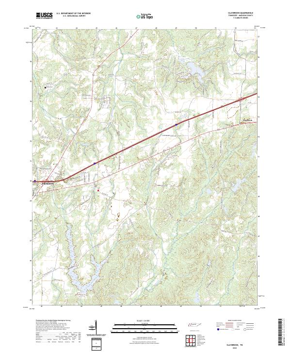
2022 Claybrook
Madison County, TN
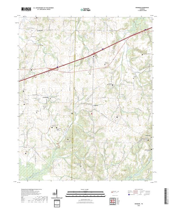
2022 Denmark
Madison County, TN
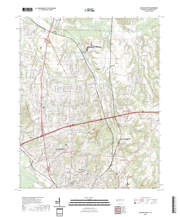
2022 Jackson North
Madison County, TN
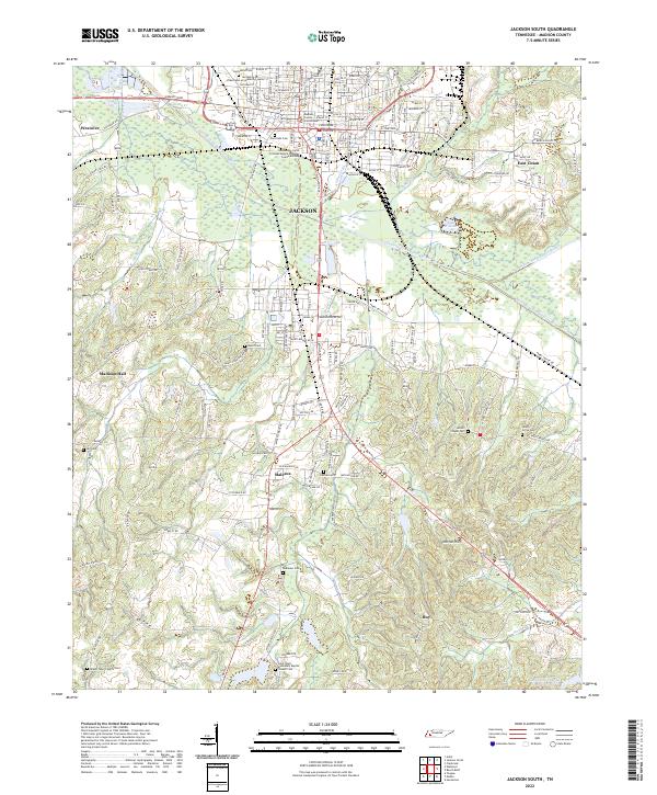
2022 Jackson South
Madison County, TN
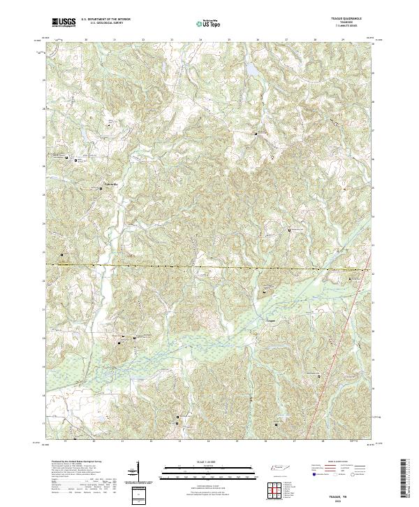
2022 Teague
Madison County, TN
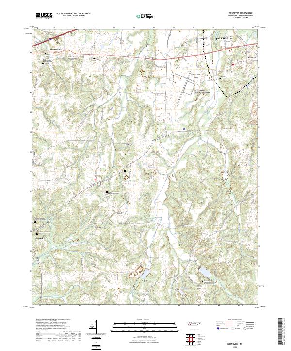
2022 Westover
Madison County, TN