
1963 Map of Jackson
USGS Topo · Published 1966About this map
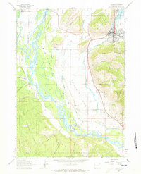
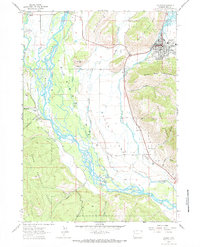
Jackson and Wilson serve as the primary hubs in this mid-1960s survey of the Jackson Hole valley, where the braided channels of the Snake River dominate the lowlands. The map captures a transitional moment for the town of Jackson, showing local infrastructure like the Sewage Disposal plant and Drive-in Theater alongside the traditional Fairground. To the north, the National Elk Refuge and Teton National Forest boundary lines establish the protected character of the landscape.
Find a feature on this map
33 named features on this map. Tap any name to fly to it.
Don’t see what you’re looking for? This feature index may not catch every label — zoom into the map to look around manually.
Map Details
Editions of this 1963 Jackson Map
3 editions found
Other maps of this area

1899 · Grand Teton
USGS Topo · 1:125,000

1901 · Grand Teton
USGS Topo · 1:125,000

1931 · Jackson
USGS Topo · 1:125,000

1935 · Jackson
USGS Topo · 1:125,000

1955 · Driggs
USGS Topo · 1:250,000

1958 · Driggs
USGS Topo · 1:250,000

1962 · Driggs
USGS Topo · 1:250,000

1963 · Munger Mountain
USGS Topo · 1:24,000

1963 · Teton Pass
USGS Topo · 1:24,000

1963 · Observation Peak
USGS Topo · 1:24,000