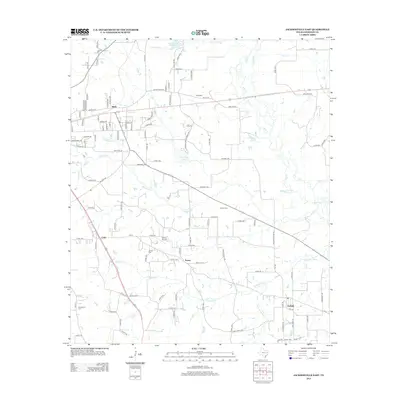
2013 Map of Jacksonville East
USGS Topo · Published 2013About this map
Mittie and Craft sit within a landscape defined by the winding tributaries of the Neches River basin in eastern Texas. The terrain is structured by a network of creeks, including the central Ragsdale Cr and the southerly Turnpike Cr, which drain into the larger Mud Cr system. Small rural settlements like Turney and Gallatin are connected by a grid of county roads, reflecting a long-standing agricultural and residential pattern. For those researching local heritage, the map identifies several scattered family burial grounds such as Tilley Cem, Staton Cem, and Jarrett Cem. The area also features recreational and utility landmarks, notably Jacksonville Club Lake and the Bolton Airport, which provide a sense of the community's modern infrastructure and land use east of the city center.
Find a feature on this map
124 named features on this map. Tap any name to fly to it.
Don’t see what you’re looking for? This feature index may not catch every label — zoom into the map to look around manually.
Map Details
Editions of this 2013 Jacksonville East Map
This is the sole edition of this map. No revisions or reprints were ever made.
Other maps of this area

1937 · Troupe
USGS Topo · 1:48,000

1943 · Troup
USGS Topo · 1:62,500

1943 · Rusk
USGS Topo · 1:62,500

1945 · Rusk
USGS Topo · 1:62,500

1946 · Bullard
USGS Topo · 1:62,500

1948 · Bullard
USGS Topo · 1:62,500

1951 · Jacksonville
USGS Topo · 1:62,500

1953 · Palestine
USGS Topo · 1:250,000

1956 · Tyler
USGS Topo · 1:250,000

1957 · Palestine
USGS Topo · 1:250,000