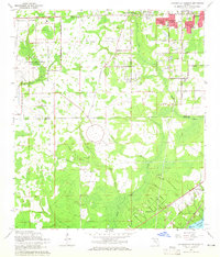
1964 Map of Jacksonville Heights
USGS Topo · Published 1965About this map
Jacksonville Heights and its surrounding suburbs represent a period of significant mid-century growth along the Duval and Clay county line. The landscape is defined by the transition from aviation operations at U S Naval Air Station (Cecil Field) to the residential subdivisions of Oak Hill Park, Enchanted Park, and Westwood. To the south, the terrain becomes increasingly rural and hydrologically complex, where the North Prong Black Creek and South Prong Black Creek converge amidst wetlands near Federal Hill. The presence of several sandpits indicates active local industry, while the Atlantic Coast Line and Seaboard Air Line railroads provide the primary transportation corridors. The map also features notable recreational and community landmarks such as Camp Coacoochee and the northern tip of Doctors Lake at Sugarhouse Cove.
Find a feature on this map
40 named features on this map. Tap any name to fly to it.
Don’t see what you’re looking for? This feature index may not catch every label — zoom into the map to look around manually.
Map Details
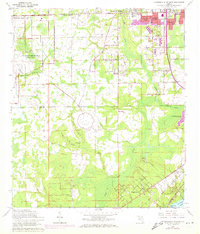
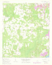
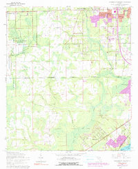
Editions of this 1964 Jacksonville Heights Map
4 editions found
Other maps of this area

1917 · Orange Park
USGS Topo · 1:62,500

1917 · Cambon
USGS Topo · 1:62,500

1918 · Middleburg
USGS Topo · 1:62,500

1918 · Cambon
USGS Topo · 1:62,500

1918 · Jacksonville
USGS Topo · 1:62,500

1918 · Orange Park
USGS Topo · 1:62,500

1941 · Middleburg
USGS Topo · 1:62,500

1948 · Jacksonville
USGS Topo · 1:250,000

1949 · Middleburg SW
USGS Topo · 1:24,000

1949 · Fiftone
USGS Topo · 1:24,000
Featured Places
- Jacksonville, FL
- Oak Hill, Jacksonville
- Westwood, Jacksonville
- Oak Hill Park, Jacksonville
- Ridgewood, FL