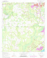
1964 Map of Jacksonville Heights
USGS Topo · Published 1990About this map
U S Naval Air Station (Cecil Field) dominates the western landscape of this mid-century survey, its expansive grounds reflecting the military's significant footprint in Northeast Florida. The Jacksonville Corporate Boundary bisects the sheet, dividing the developing suburbs of Jacksonville Heights from the more rural reaches of the Duval Co Clay Co line. Residential expansion is evident in neighborhoods like Oak Hill, Westwood, and North Meadowbrook Terrace, while the southeastern corner touches the waters of Doctors Lake at Sugarhouse Cove.
Find a feature on this map
38 named features on this map. Tap any name to fly to it.
Don’t see what you’re looking for? This feature index may not catch every label — zoom into the map to look around manually.
Map Details
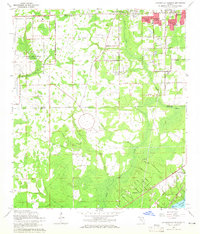
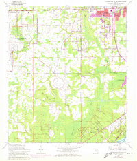
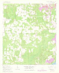
Editions of this 1964 Jacksonville Heights Map
4 editions found
Other maps of this area

1917 · Orange Park
USGS Topo · 1:62,500

1917 · Cambon
USGS Topo · 1:62,500

1918 · Middleburg
USGS Topo · 1:62,500

1918 · Cambon
USGS Topo · 1:62,500

1918 · Jacksonville
USGS Topo · 1:62,500

1918 · Orange Park
USGS Topo · 1:62,500

1941 · Middleburg
USGS Topo · 1:62,500

1948 · Jacksonville
USGS Topo · 1:250,000

1949 · Middleburg SW
USGS Topo · 1:24,000

1949 · Fiftone
USGS Topo · 1:24,000
Featured Places
- Jacksonville, FL
- Oak Hill, Jacksonville
- Westwood, Jacksonville
- Oak Hill Park, Jacksonville
- Ridgewood, FL