2022 Map of Jacksonville West
USGS Topo · Published 2022About this map
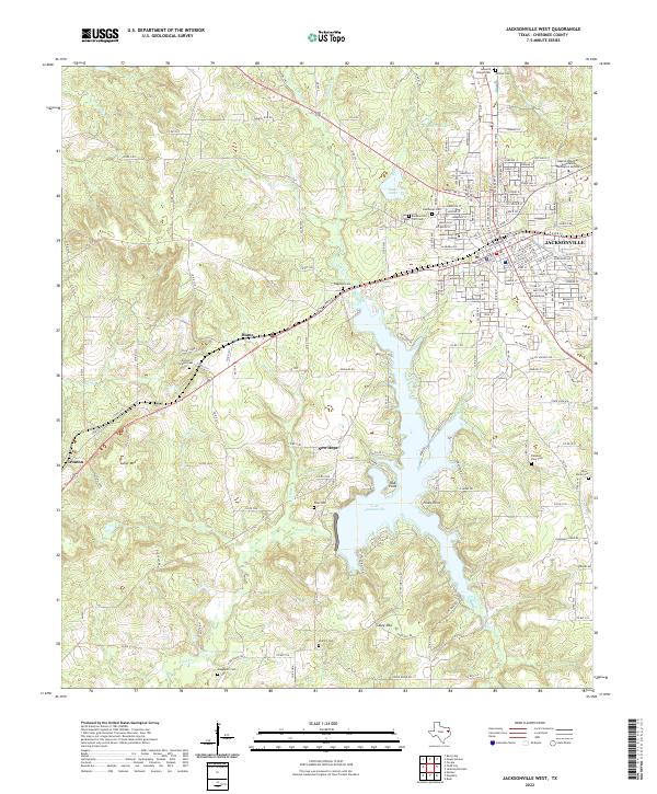
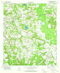
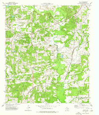
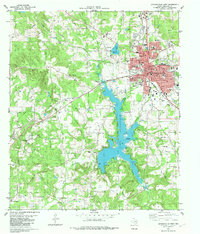
Lake Jacksonville dominates the central landscape of this Cherokee County study, its fingers reaching into the valleys of Gum Creek and Sixmile Creek. The western edge of Jacksonville appears on the eastern margin, showing a dense residential grid and institutional centers like Jacksonville College and the Baptist Missionary Theological Seminary. The map is particularly valuable for genealogists, detailing numerous rural burial grounds such as Earles Chapel Cem and Gossetts Chapel Cem, alongside smaller settlements like Hume and Ironton. Rising above the surrounding creeks, Luker Mtn and Casey Mtn define the local topography, while numerous county roads like Co RD 3212 and Co RD 3114 weave together the area's family farms and historic homesteads.
Find a feature on this map
181 named features on this map. Tap any name to fly to it.
Don’t see what you’re looking for? This feature index may not catch every label — zoom into the map to look around manually.
Map Details
Editions of this 2022 Jacksonville West Map
This is the sole edition of this map. No revisions or reprints were ever made.
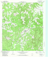
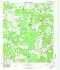
Historical Maps of Mountain Heaven Through Time
23 maps found
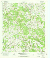
1937 Troupe
Cherokee County, TX
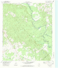
1973 Atoy
Cherokee County, TX
1973 Forest
Cherokee County, TX
1973 Griffin
Cherokee County, TX
1973 Jacksonville East
Cherokee County, TX
1973 Mount Selman
Cherokee County, TX
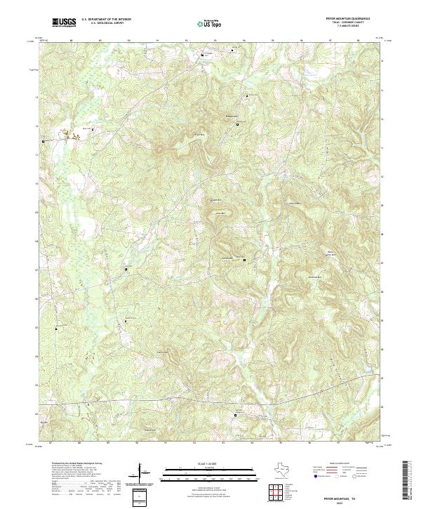
1973 Pryor Mountain
Cherokee County, TX
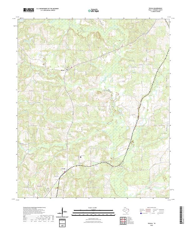
1973 Tecula
Cherokee County, TX
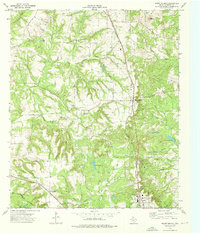
1982 Jacksonville West
Cherokee County, TX
1982 Maydelle
Cherokee County, TX
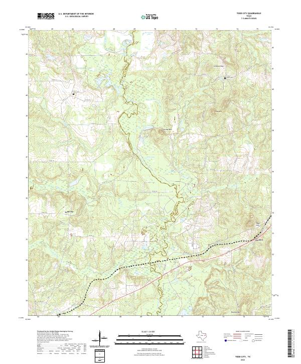
1982 Todd City
Cherokee County, TX
1983 Durst Lakes
Cherokee County, TX
2022 Atoy
Cherokee County, TX
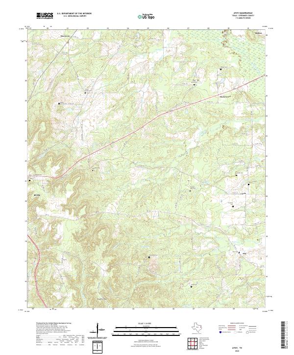
2022 Durst Lakes
Cherokee County, TX
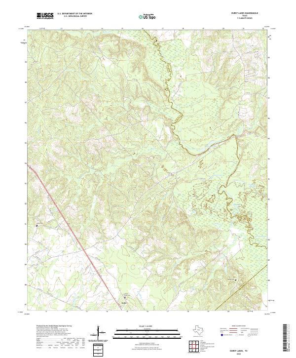
2022 Forest
Cherokee County, TX
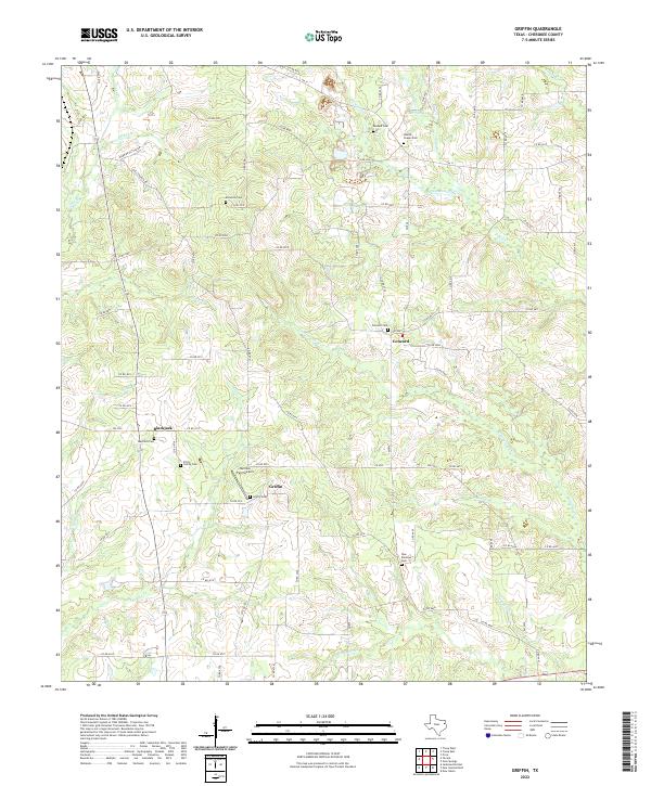
2022 Griffin
Cherokee County, TX
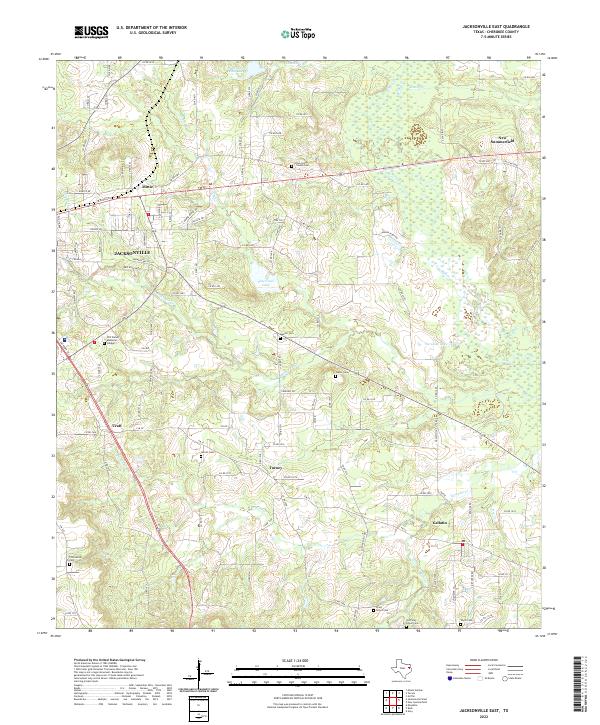
2022 Jacksonville East
Cherokee County, TX
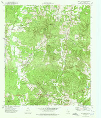
2022 Jacksonville West
Cherokee County, TX
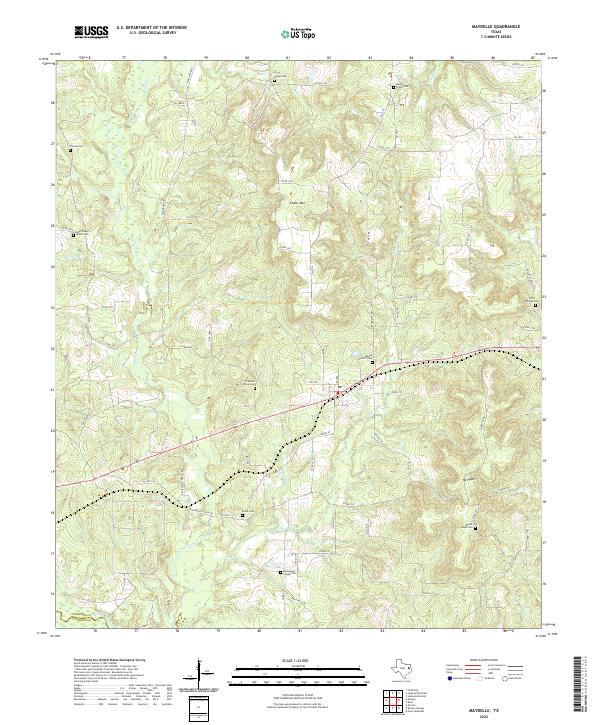
2022 Maydelle
Cherokee County, TX
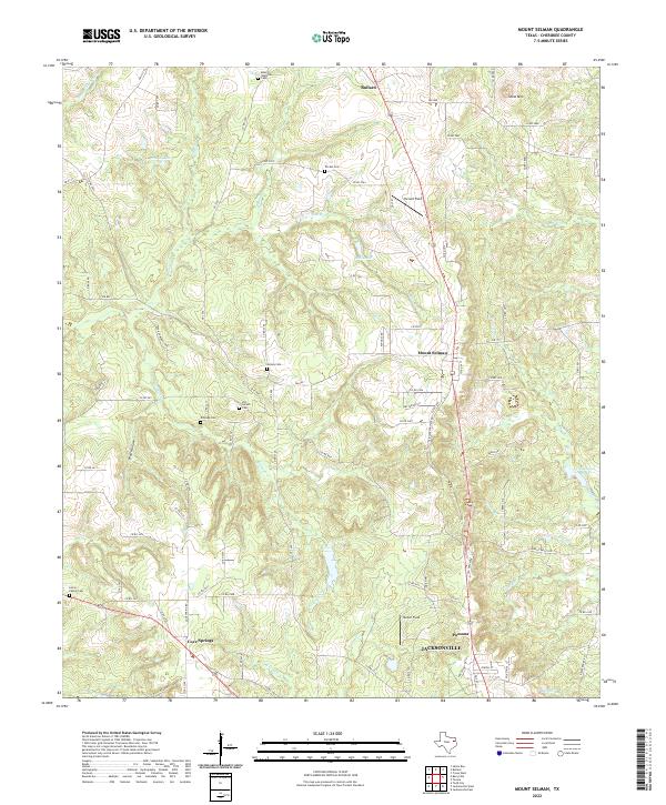
2022 Mount Selman
Cherokee County, TX
2022 Pryor Mountain
Cherokee County, TX
2022 Tecula
Cherokee County, TX
2022 Todd City
Cherokee County, TX