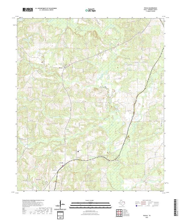
2022 Map of Tecula
USGS Topo · Published 2022About this map
Mixon and Tecula anchor this section of Cherokee County, where a complex network of small drainage ways and ponds defines the topography. The landscape is characterized by its numerous water bodies, including Smith Lake, Goldy Lake, and the larger Stockton Lake. These features, along with the meandering paths of Mud Cr and its tributaries like W Mud Cr and E Mud Cr, indicate a low-lying, well-watered region where rural life is shaped by the creek bottoms. Genealogists will find the Mixon Cem and Tecula Cem centrally located near their respective settlements, while landmarks such as Rocky Point provide distinctive geographic reference points amid the winding county roads. The density of named branches, such as Lavender Br and Piney Br, highlights the intricate natural irrigation that has long influenced land use in this part of East Texas.
Find a feature on this map
89 named features on this map. Tap any name to fly to it.
Don’t see what you’re looking for? This feature index may not catch every label — zoom into the map to look around manually.
Map Details
Editions of this 2022 Tecula Map
This is the sole edition of this map. No revisions or reprints were ever made.
Other maps of this area

1937 · Troupe
USGS Topo · 1:48,000

1943 · Troup
USGS Topo · 1:62,500

1943 · Rusk
USGS Topo · 1:62,500

1945 · Rusk
USGS Topo · 1:62,500

1946 · Bullard
USGS Topo · 1:62,500

1948 · Bullard
USGS Topo · 1:62,500

1951 · Jacksonville
USGS Topo · 1:62,500

1953 · Palestine
USGS Topo · 1:250,000

1956 · Tyler
USGS Topo · 1:250,000

1957 · Palestine
USGS Topo · 1:250,000