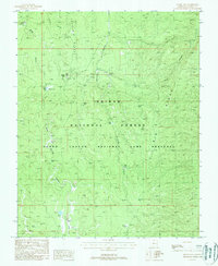
1988 Map of Jacob Lake
USGS Topo · Published 1988About this map
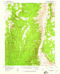
Jacob Lake serves as the focal point for this high-plateau landscape, where the Kaibab National Forest and the Grand Canyon National Game Preserve converge. The topography is defined by significant elevations along Cooper Ridge and Big Ridge, dissected by deep drainage systems like Le Fevre Canyon and Orderville Canyon. Water management is central to the area's utility, evidenced by numerous named tanks and sinks such as Billy Sink, Jolly Sink, and Big Ridge Tank. These features, along with a Gravel Pit and a Ranger Station, illustrate the human infrastructure required to support forest management and seasonal travel through this complex terrain. The map also traces the headwaters of the West Fork and East Fork, providing a detailed view of the watershed just north of the Grand Canyon's rim.
Find a feature on this map
28 named features on this map. Tap any name to fly to it.
Don’t see what you’re looking for? This feature index may not catch every label — zoom into the map to look around manually.
Map Details
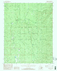
Editions of this 1988 Jacob Lake Map
2 editions found
Other maps of this area

1886 · Kaibab
USGS Topo · 1:250,000

1936 · Jacobs Lake
USGS Topo · 1:48,000

1940 · Jacob Lake
USGS Topo · 1:62,500

1953 · Jacobs Lake
USGS Topo · 1:62,500

1953 · Grand Canyon
USGS Topo · 1:250,000
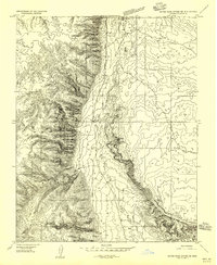
1954 · House Rock Spring SE
USGS Topo · 1:24,000

1957 · Grand Canyon
USGS Topo · 1:250,000

1957 · Shinarump SE
USGS Topo · 1:24,000
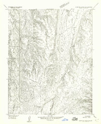
1957 · House Rock Spring SW
USGS Topo · 1:24,000
1957 · House Rock Spring
USGS Topo · 1:62,500