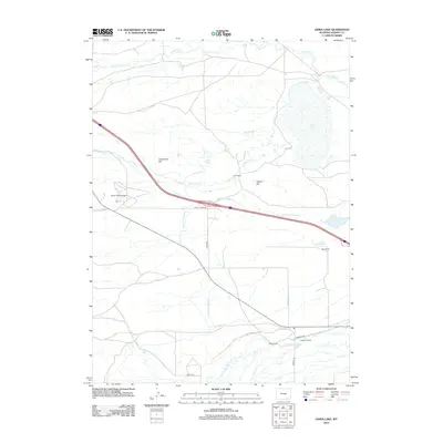
2012 Map of James Lake
USGS Topo · Published 2012About this map
Quealy Dome Oil Field and a network of irrigation ditches define this high-plains landscape in Albany County. The map details an environment where industrial extraction and ranching coexist, with several established family operations including Hunt Ranch, May Ranch, and Lawrence Ranch situated near the water sources of the Little Laramie River and James Lake. The topography is marked by distinct rises such as Sevenmile Hill and Signal Hill, which overlook a complex water management system featuring Battin Ditch and multiple branches of the Bellamy Ditch. This 2012 survey illustrates how the drainage of Sevenmile Cr and Fourmile Cr is diverted for agricultural use, supporting the legacy of high-desert ranching along corridors like Quealy Dome Rd and Mandel Ln.
Find a feature on this map
22 named features on this map. Tap any name to fly to it.
Don’t see what you’re looking for? This feature index may not catch every label — zoom into the map to look around manually.
Map Details
Editions of this 2012 James Lake Map
This is the sole edition of this map. No revisions or reprints were ever made.
Other maps of this area

1895 · Laramie
USGS Topo · 1:125,000

1902 · Laramie
USGS Topo · 1:125,000

1905 · Laramie
USGS Topo · 1:125,000

1906 · Medicine Bow
USGS Topo · 1:125,000

1906 · Laramie
USGS Topo · 1:125,000

1908 · Laramie
USGS Topo · 1:125,000

1908 · Medicine Bow
USGS Topo · 1:125,000

1954 · Cheyenne
USGS Topo · 1:250,000

1954 · Rawlins
USGS Topo · 1:250,000

1955 · Big Judson
USGS Topo · 1:24,000