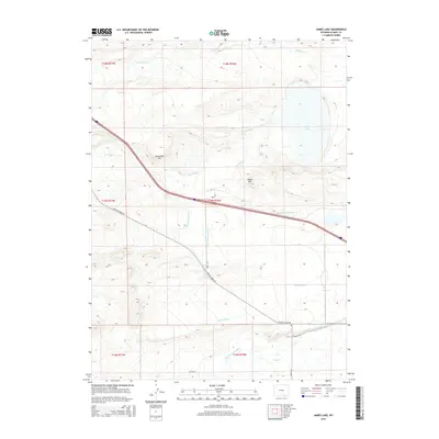
2015 Map of James Lake
USGS Topo · Published 2015About this map
James Lake and the surrounding high plains of Albany County are defined by a complex network of irrigation and water management features. The landscape is etched with historical waterworks including Bellamy Ditch, Battin Ditch, and Snake Ditch, which redirect water across the arid terrain to support local ranching. High points like Sevenmile Hill and Signal Hill provide topographic contrast to the drainage basins of the Little Laramie River and Fourmile Cr. The presence of roads such as Dutton Creek Rd and Hunt Rd underscores the sparse, rural nature of this region, where land use is closely tied to the availability of water. These engineered waterways reveal the persistent effort to transform the Wyoming steppe through systematic irrigation, as seen in the various branches of the Bellamy system.
Find a feature on this map
23 named features on this map. Tap any name to fly to it.
Don’t see what you’re looking for? This feature index may not catch every label — zoom into the map to look around manually.
Map Details
Editions of this 2015 James Lake Map
This is the sole edition of this map. No revisions or reprints were ever made.
Other maps of this area

1895 · Laramie
USGS Topo · 1:125,000

1902 · Laramie
USGS Topo · 1:125,000

1905 · Laramie
USGS Topo · 1:125,000

1906 · Medicine Bow
USGS Topo · 1:125,000

1906 · Laramie
USGS Topo · 1:125,000

1908 · Laramie
USGS Topo · 1:125,000

1908 · Medicine Bow
USGS Topo · 1:125,000

1954 · Cheyenne
USGS Topo · 1:250,000

1954 · Rawlins
USGS Topo · 1:250,000

1955 · Big Judson
USGS Topo · 1:24,000