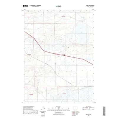
2017 Map of James Lake
USGS Topo · Published 2017About this map
James Lake and the winding course of the Little Laramie River anchor this high-plains landscape in Albany County. The terrain is defined by a sophisticated network of irrigation systems designed to manage water in this semi-arid environment, including the Bellamy Ditch system, Snake Ditch, and Battin Ditch. These waterways lace through the flats beneath prominent natural landmarks such as Sevenmile Hill and Signal Hill.
Find a feature on this map
24 named features on this map. Tap any name to fly to it.
Don’t see what you’re looking for? This feature index may not catch every label — zoom into the map to look around manually.
Map Details
Editions of this 2017 James Lake Map
This is the sole edition of this map. No revisions or reprints were ever made.
Other maps of this area

1895 · Laramie
USGS Topo · 1:125,000

1902 · Laramie
USGS Topo · 1:125,000

1905 · Laramie
USGS Topo · 1:125,000

1906 · Medicine Bow
USGS Topo · 1:125,000

1906 · Laramie
USGS Topo · 1:125,000

1908 · Laramie
USGS Topo · 1:125,000

1908 · Medicine Bow
USGS Topo · 1:125,000

1954 · Cheyenne
USGS Topo · 1:250,000

1954 · Rawlins
USGS Topo · 1:250,000

1955 · Big Judson
USGS Topo · 1:24,000