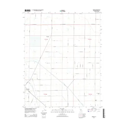
2015 Map of Jamesan
USGS Topo · Published 2015About this map
The San Joaquin Valley floor, characterized by a vast grid of agricultural roads and irrigation infrastructure, dominates this landscape in the mid-2010s. The settlement of Tranquillity sits at the southwestern edge, defined by its proximity to the Fresno Slough and the James Bypass. This water management system is a central feature of the local geography, showing the complex engineering required to manage flow through the Central Valley. To the north, the small settlement of Jamesan resides among the township and range divisions of T14S R16E. The map detail reflects the intense cultivation of the region, where named thoroughfares like W Whitesbridge Rd and S James Rd serve as the primary arteries for this productive agricultural heartland.
Find a feature on this map
56 named features on this map. Tap any name to fly to it.
Don’t see what you’re looking for? This feature index may not catch every label — zoom into the map to look around manually.
Map Details
Editions of this 2015 Jamesan Map
This is the sole edition of this map. No revisions or reprints were ever made.
Other maps of this area
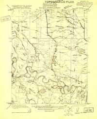
1921 · Mendota
USGS Topo · 1:31,680
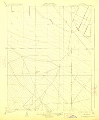
1923 · Englebrecht Ranch
USGS Topo · 1:31,680
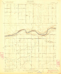
1923 · Biola
USGS Topo · 1:31,680
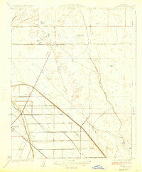
1924 · Jamesan
USGS Topo · 1:31,680
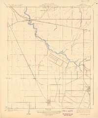
1924 · Tranquillity
USGS Topo · 1:31,680
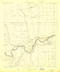
1924 · Gravelly Ford
USGS Topo · 1:31,680
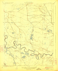
1924 · Mendota
USGS Topo · 1:31,680
1925 · Helm
USGS Topo · 1:31,680
1925 · San Joaquin
USGS Topo · 1:31,680
1946 · Tranquillity
USGS Topo · 1:62,500