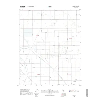
2018 Map of Jamesan
USGS Topo · Published 2018About this map
Jamesan sits at the heart of this agricultural landscape in the Central Valley, where the precise grid of the Public Land Survey System dictates the movement of water and travelers alike. The James Bypass and Fresno Slough cut diagonally across the rectangular townships, providing critical water management for the surrounding farms and orchards. This 2018 survey reveals a territory defined by industrial-scale agriculture, with a lonely Church on W Jensen Ave serving as a landmark among the vast fields. A dense network of rural roads, including S James Rd and Riverside Dr, connects the scattered homesteads and farming operations of the San Joaquin Valley. The map documents the enduring geometry of California's interior, where transportation routes like W California Ave follow the section lines established generations ago.
Find a feature on this map
57 named features on this map. Tap any name to fly to it.
Don’t see what you’re looking for? This feature index may not catch every label — zoom into the map to look around manually.
Map Details
Editions of this 2018 Jamesan Map
This is the sole edition of this map. No revisions or reprints were ever made.
Other maps of this area
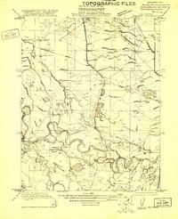
1921 · Mendota
USGS Topo · 1:31,680
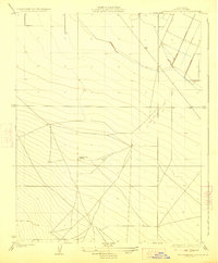
1923 · Englebrecht Ranch
USGS Topo · 1:31,680
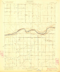
1923 · Biola
USGS Topo · 1:31,680
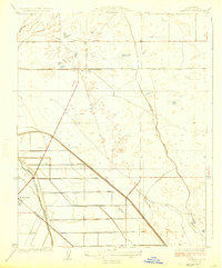
1924 · Jamesan
USGS Topo · 1:31,680
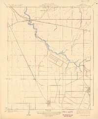
1924 · Tranquillity
USGS Topo · 1:31,680
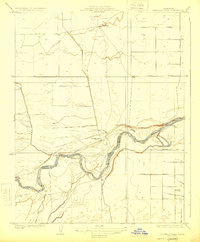
1924 · Gravelly Ford
USGS Topo · 1:31,680
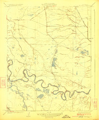
1924 · Mendota
USGS Topo · 1:31,680
1925 · Helm
USGS Topo · 1:31,680
1925 · San Joaquin
USGS Topo · 1:31,680
1946 · Tranquillity
USGS Topo · 1:62,500