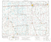
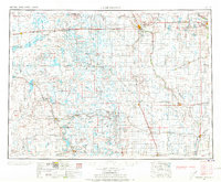
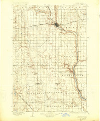
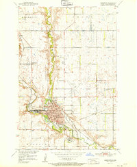
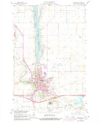
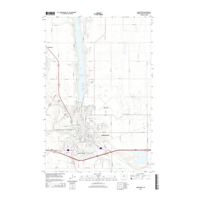
1953 Map of Jamestown
USGS Topo · Published 1977About this map
Jamestown and Valley City anchor this mid-century look at the North Dakota prairie, where a complex network of rail lines and early aviation fields defined the regional economy. The landscape is dotted with numerous glacial lakes and conservation areas, including the Chase Lake National Wildlife Refuge and the Slade National Wildlife Refuge. Traces of earlier infrastructure are evident in the Old RR grade near Oakes, while several regional parks like Whitestone Battlefield State Park preserve local heritage. The drainage patterns of the James River and Pipestem Creek carve through the agricultural heartland of Stutsman County and its neighbors. Smaller settlements such as Crystal Springs, Ypsilanti, and Montpelier appear alongside essential landmarks like St Marys Church and Pruetz Muni Airport, documenting the distribution of community life across the plains.
Find a feature on this map
117 named features on this map. Tap any name to fly to it.
Don’t see what you’re looking for? This feature index may not catch every label — zoom into the map to look around manually.
Map Details
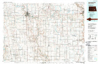
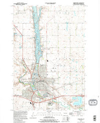
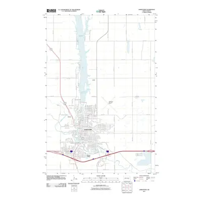
Editions of this 1953 Jamestown Map
3 editions found

Historical Maps of Jamestown Through Time
12 maps found
1896 Jamestown
Stutsman County, ND
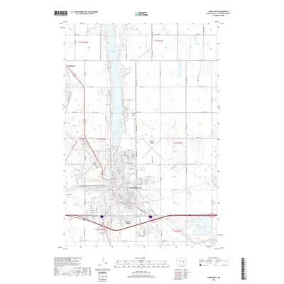
1951 Jamestown
Stutsman County, ND
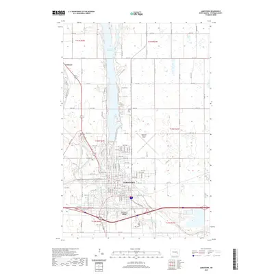
1953 Jamestown
Stutsman County, ND

1956 Jamestown
Stutsman County, ND
1966 Jamestown
Stutsman County, ND
1986 Jamestown
Stutsman County, ND
1990 Jamestown
Stutsman County, ND
2011 Jamestown
Stutsman County, ND
2014 Jamestown
Stutsman County, ND
2018 Jamestown
Stutsman County, ND
2020 Jamestown
Stutsman County, ND
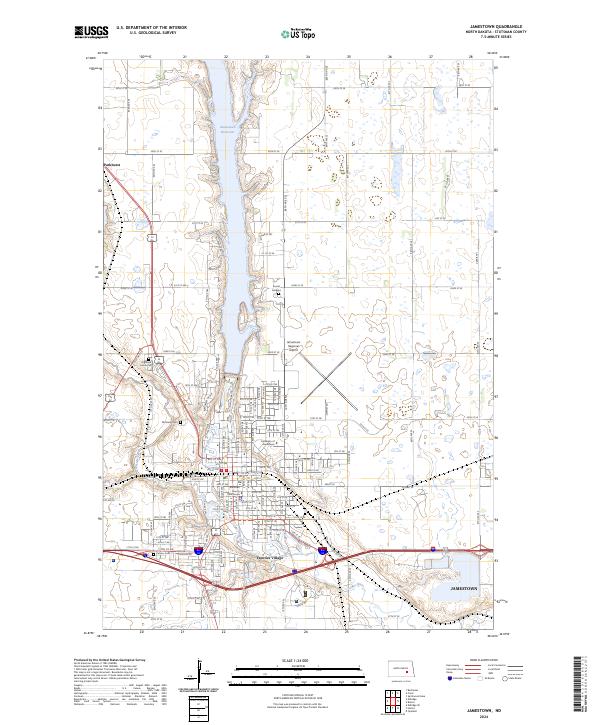
2024 Jamestown
Stutsman County, ND