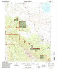
1994 Map of Janesville
USGS Topo · Published 1998About this map
Janesville sits at the base of the Diamond Mountains along the southwestern edge of the Honey Lake Valley, a landscape defined by the transition from high sierra peaks to terminal lake basins. This 1990s revision reveals a complex network of canyons and creeks, including Baxter Creek and Elysian Valley Creek, which drain the timbered heights of the Lassen National Forest. The map captures the infrastructure supporting the local community and aviation, featuring the Susanville Municipal Airport and Lake Leavitt. Genealogists may find value in the location of the Johnstonville Cem and the small Cem near the town center, while topographical features like Thompson Peak and Shugru Res illustrate the water management and rugged geography of eastern Lassen County.
Find a feature on this map
45 named features on this map. Tap any name to fly to it.
Don’t see what you’re looking for? This feature index may not catch every label — zoom into the map to look around manually.
Map Details
Editions of this 1994 Janesville Map
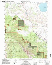
2 editions found
Other maps of this area

1886 · Honey Lake
USGS Topo · 1:250,000

1891 · Honey Lake
USGS Topo · 1:250,000

1893 · Honey Lake
USGS Topo · 1:250,000

1950 · Kettle Rock
USGS Topo · 1:62,500

1950 · Milford
USGS Topo · 1:62,500

1954 · Susanville
USGS Topo · 1:62,500

1954 · Litchfield
USGS Topo · 1:62,500

1955 · Westwood
USGS Topo · 1:250,000

1958 · Westwood
USGS Topo · 1:250,000

1959 · Westwood
USGS Topo · 1:250,000