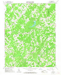
1966 Map of Java
USGS Topo · Published 1967About this map
Java and the surrounding rural communities of Pittsylvania and Halifax counties are defined by a network of creeks and small settlements in the mid-1960s. The landscape is dominated by the Banister River to the northwest and the centrally located Elkhorn Lake, which feeds into Elkhorn Creek. This area exhibits a traditional Piedmont settlement pattern where local life centered around small crossroads and general stores like Chaneys Store and Peytonsburg.
Find a feature on this map
27 named features on this map. Tap any name to fly to it.
Don’t see what you’re looking for? This feature index may not catch every label — zoom into the map to look around manually.
Map Details
Editions of this 1966 Java Map
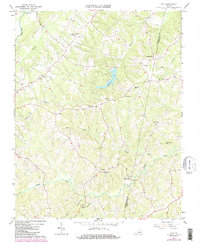
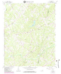
3 editions found
Other maps of this area

1921 · Chatham
USGS Topo · 1:48,000

1923 · Danville
USGS Topo · 1:48,000

1923 · Chatham
USGS Topo · 1:62,500

1925 · Danville
USGS Topo · 1:62,500

1952 · Milton
USGS Topo · 1:62,500

1953 · Greensboro
USGS Topo · 1:250,000

1954 · Greensboro
USGS Topo · 1:250,000

1954 · Riceville
USGS Topo · 1:62,500

1956 · Milton
USGS Topo · 1:62,500

1962 · Greensboro
USGS Topo · 1:250,000