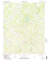
1966 Map of Java
USGS Topo · Published 1984About this map
Java and the surrounding rural landscape of the Pittsylvania and Halifax county line are defined by a network of winding creeks and early crossroads settlements. This mid-1960s perspective, updated with early 1980s data, shows a region tied to its agricultural roots, with numerous small congregations such as Providence Ch, Womacks Chapel, and Zion Chapel anchoring the community. The topography is etched by the Banister River in the northwest and the expansive Elkhorn Lake, which was created along Elkhorn Creek. Local commerce and transit are marked by places like Chaneys Store and Henrys Mill, while smaller locales such as Lucks and Pickaway illustrate the dispersed nature of habitation during this era. Surveyors also documented many unmarked Cem (cemeteries) on private lands, providing critical clues for those tracing family history in this part of Southside Virginia.
Find a feature on this map
25 named features on this map. Tap any name to fly to it.
Don’t see what you’re looking for? This feature index may not catch every label — zoom into the map to look around manually.
Map Details
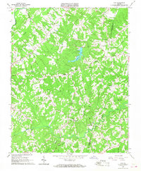
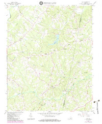
Editions of this 1966 Java Map
3 editions found
Other maps of this area

1921 · Chatham
USGS Topo · 1:48,000

1923 · Danville
USGS Topo · 1:48,000

1923 · Chatham
USGS Topo · 1:62,500

1925 · Danville
USGS Topo · 1:62,500

1952 · Milton
USGS Topo · 1:62,500

1953 · Greensboro
USGS Topo · 1:250,000

1954 · Greensboro
USGS Topo · 1:250,000

1954 · Riceville
USGS Topo · 1:62,500

1956 · Milton
USGS Topo · 1:62,500

1962 · Greensboro
USGS Topo · 1:250,000