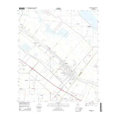
2015 Map of Jeanerette
USGS Topo · Published 2015About this map
Bayou Teche defines the cultural and industrial layout of this Iberia Parish landscape, where historical settlements and sugar-related infrastructure line its banks. The city of Jeanerette serves as the central hub, surrounded by smaller communities such as Hubertville, Loisel, and Hope. This 2015 survey illustrates how the traditional long-lot land patterns of the Acadiana region persist, with roads like Linden Plantation Rd and Old Jeanerette Rd following the natural curves of the waterway.
Find a feature on this map
92 named features on this map. Tap any name to fly to it.
Don’t see what you’re looking for? This feature index may not catch every label — zoom into the map to look around manually.
Map Details
Editions of this 2015 Jeanerette Map
This is the sole edition of this map. No revisions or reprints were ever made.
Other maps of this area

1937 · Jeanerette
USGS Topo · 1:62,500

1937 · Derouen
USGS Topo · 1:62,500

1939 · St. Martinsville
USGS Topo · 1:62,500

1941 · Loreauville
USGS Topo · 1:62,500

1945 · New Orleans
USGS Topo · 1:250,000

1954 · Loreauville
USGS Topo · 1:62,500

1954 · Jeanerette
USGS Topo · 1:62,500

1954 · Baton Rouge
USGS Topo · 1:250,000

1956 · Baton Rouge
USGS Topo · 1:250,000

1957 · St. Martinville
USGS Topo · 1:62,500