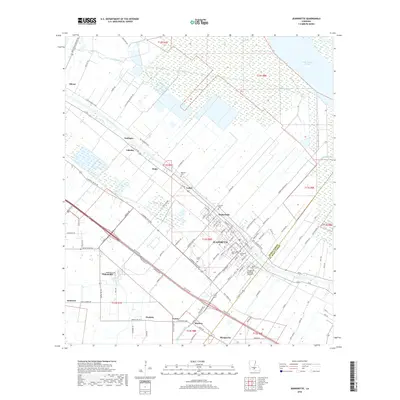
2018 Map of Jeanerette
USGS Topo · Published 2018About this map
The winding course of Bayou Teche defines the cultural and industrial layout of this Iberia Parish landscape, where the city of Jeanerette serves as the primary hub of activity. The map illustrates a dense network of sugarcane plantations and small settlements such as Loisel, Hubertville, and Hope that flank the bayou, connected by the historic route of La 182. This corridor is punctuated by numerous local burial grounds including Saint Johns Cem and McGowen Cem, which provide significant anchor points for genealogical research in the region.
Find a feature on this map
132 named features on this map. Tap any name to fly to it.
Don’t see what you’re looking for? This feature index may not catch every label — zoom into the map to look around manually.
Map Details
Editions of this 2018 Jeanerette Map
This is the sole edition of this map. No revisions or reprints were ever made.
Other maps of this area

1937 · Jeanerette
USGS Topo · 1:62,500

1937 · Derouen
USGS Topo · 1:62,500

1939 · St. Martinsville
USGS Topo · 1:62,500

1941 · Loreauville
USGS Topo · 1:62,500

1945 · New Orleans
USGS Topo · 1:250,000

1954 · Loreauville
USGS Topo · 1:62,500

1954 · Jeanerette
USGS Topo · 1:62,500

1954 · Baton Rouge
USGS Topo · 1:250,000

1956 · Baton Rouge
USGS Topo · 1:250,000

1957 · St. Martinville
USGS Topo · 1:62,500