2024 Map of Jeanerette
USGS Topo · Published 2024About this map
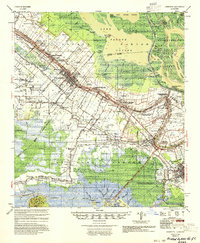
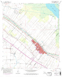
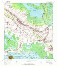
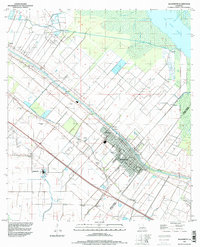
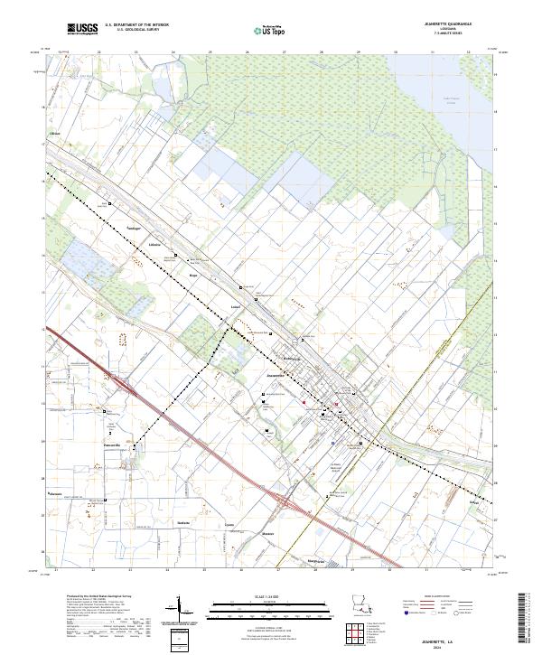
Bayou Teche winds through this Iberia Parish landscape, anchoring a series of historic settlements and plantation-era land patterns. The city of Jeanerette serves as the central hub, surrounded by smaller communities such as Hubertville, Loisel, and Patoutville. The map reveals a dense concentration of cultural and genealogical sites, particularly churches and cemeteries like Saint James Baptist Cem, Our Lady of the Rosary Cem, and Saint Mark Baptist Cem. These locations reflect the deep-rooted community history of the region. North of the developed corridor, the terrain transitions into the wetlands of Tete Bayou and the expanse of Lake Fausse Pointe. Engineered waterways like the Delahoussaye Canal and Butte Canal highlight the long-standing efforts to manage the low-lying Acadiana basin for both agriculture and industry.
Find a feature on this map
132 named features on this map. Tap any name to fly to it.
Don’t see what you’re looking for? This feature index may not catch every label — zoom into the map to look around manually.
Map Details
Editions of this 2024 Jeanerette Map
This is the sole edition of this map. No revisions or reprints were ever made.
Historical Maps of Hubertville Through Time
6 maps found