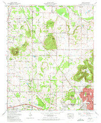
1967 Map of Jeff
USGS Topo · Published 1972About this map
Capshaw Mountain and Burwell Mountain rise above a landscape transitioning from agricultural roots to suburban expansion northwest of Huntsville. The mid-century character of the area is defined by a dense network of country roads like Bob Wade Lane and Nick Davis Road, connecting established communities such as Monrovia and Cluttsville. Educational landmarks including Sparkman High Sch and Oakwood College anchor the local community alongside numerous small rural churches and family burying grounds.
Find a feature on this map
96 named features on this map. Tap any name to fly to it.
Don’t see what you’re looking for? This feature index may not catch every label — zoom into the map to look around manually.
Map Details
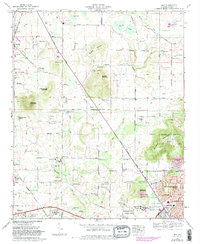
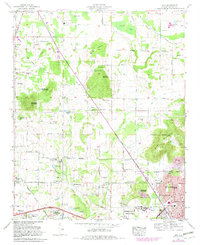
Editions of this 1967 Jeff Map
3 editions found
Other maps of this area

1888 · Huntsville
USGS Topo · 1:125,000

1892 · Huntsville
USGS Topo · 1:125,000

1936 · Jeff
USGS Topo · 1:24,000

1936 · Capshaw
USGS Topo · 1:24,000

1936 · Madison
USGS Topo · 1:24,000

1936 · Meridianville
USGS Topo · 1:24,000

1936 · Fisk
USGS Topo · 1:24,000

1936 · Ardmore
USGS Topo · 1:24,000

1936 · Toney
USGS Topo · 1:24,000

1936 · Greenbrier
USGS Topo · 1:24,000