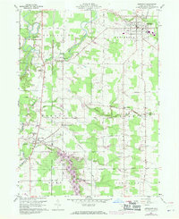
1960 Map of Jefferson
USGS Topo · Published 1970About this map
The Grand River and its numerous tributaries, including Mill Creek and Three Brothers Creek, define the rural landscape of central Ashtabula County. This 1960s survey, updated with 1970 photogrammetric data, shows the expansion of Roaming Rock Lake in the southern portion of the quadrangle. The township of Jefferson serves as the primary hub, anchored by the local Fairground and Oakdale Cem.
Find a feature on this map
51 named features on this map. Tap any name to fly to it.
Don’t see what you’re looking for? This feature index may not catch every label — zoom into the map to look around manually.
Map Details
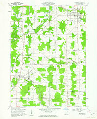
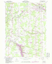
Editions of this 1960 Jefferson Map
Other maps of this area

1905 · Andover
USGS Topo · 1:48,000

1905 · Ashtabula
USGS Topo · 1:62,500

1905 · Jefferson
USGS Topo · 1:62,500

1906 · Conneaut
USGS Topo · 1:62,500

1907 · Andover
USGS Topo · 1:62,500

1907 · Jefferson
USGS Topo · 1:62,500

1950 · Cleveland
USGS Topo · 1:250,000

1956 · Cleveland
USGS Topo · 1:250,000

1959 · Dorset
USGS Topo · 1:24,000
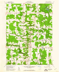
1959 · Windsor
USGS Topo · 1:24,000
Featured Places
- Jefferson Township, OH
- Jefferson, OH
- Morgan, Rock Creek
- Morgan Township, OH
- Roaming Shores, Morgan Township