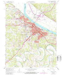
1967 Map of Jefferson City
USGS Topo · Published 1986About this map
The Missouri River bisects this Missouri landscape, separating the developed urban core of Jefferson City from the northern floodplains of Callaway Co. The city is defined by its institutional presence, notably the sprawling State Penitentiary on the riverbanks and the historic Lincoln University campus to the south. Transportation networks of the Missouri Pacific and Missouri Kansas - Texas railroads converge here, reflecting the capital’s role as a regional hub. North of the river, the Jefferson City Memorial Airport and the Renz Correction Center occupy the flatlands near Cedar City. Local history is preserved in several significant sites, including the Jefferson City National Cem and the quiet grounds of the Carmelite Monastery. The winding Moreau River and its tributaries like Herbrandt Branch carve through the southern hills, where smaller settlements like Wardsville began to expand.
Find a feature on this map
71 named features on this map. Tap any name to fly to it.
Don’t see what you’re looking for? This feature index may not catch every label — zoom into the map to look around manually.
Map Details
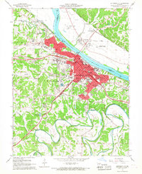
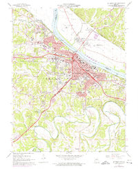
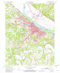
Editions of this 1967 Jefferson City Map
4 editions found
Other maps of this area

1886 · Jefferson City
USGS Topo · 1:125,000

1888 · Tuscumbia
USGS Topo · 1:125,000

1894 · Tuscumbia
USGS Topo · 1:125,000

1894 · Jefferson City
USGS Topo · 1:125,000

1939 · Jefferson City
USGS Topo · 1:24,000

1939 · Jefferson City
USGS Topo · 1:62,500

1942 · Jefferson City
USGS Topo · 1:62,500

1947 · Jefferson City
USGS Topo · 1:250,000

1948 · Centertown
USGS Topo · 1:62,500

1948 · Meta
USGS Topo · 1:62,500
Featured Places
- Jefferson City, MO
- Holts Summit, MO
- Wardsville, MO
- Cole Junction, Jefferson City
- North Jefferson, Jefferson City