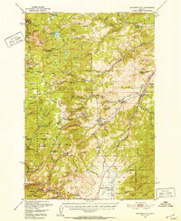
1950 Map of Jefferson City
USGS Topo · Published 1952About this map
The Northern Pacific railroad winds through the mountainous terrain of the Helena National Forest and Deerlodge National Forest, connecting the mining hubs of central Montana. This mid-century landscape is defined by its industrial legacy, featuring a high concentration of inactive workings such as the Alta Mines near Wickes and the Rimini Mines near the settlement of Rimini. The map illustrates a transition in land use, where rugged extraction sites like the Comet Mine sit alongside protected areas like Boulder Chief Park. Water management is prominent, with Chessman Reservoir and various gulches like Lump Gulch and Boomerang Gulch carving through the granite peaks. This survey captures the region just as many of its historic lode mines had moved into an inactive status, while settlements like Jefferson City and Corbin remained as anchors along the rail and road corridors.
Find a feature on this map
96 named features on this map. Tap any name to fly to it.
Don’t see what you’re looking for? This feature index may not catch every label — zoom into the map to look around manually.
Map Details
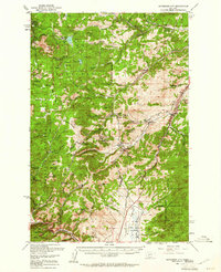
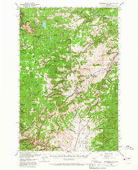
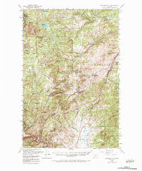
Editions of this 1950 Jefferson City Map
5 editions found

Other maps of this area

1886 · Fort Logan
USGS Topo · 1:250,000

1889 · Helena
USGS Topo · 1:250,000

1893 · Helena
USGS Topo · 1:250,000

1899 · Boulder
USGS Topo · 1:125,000

1899 · Helena
USGS Topo · 1:62,500

1899 · Helena
USGS Topo · 1:250,000

1903 · Helena
USGS Topo · 1:250,000

1947 · Butte
USGS Topo · 1:250,000

1948 · White Sulphur Springs
USGS Topo · 1:250,000

1950 · Devils Fence
USGS Topo · 1:62,500