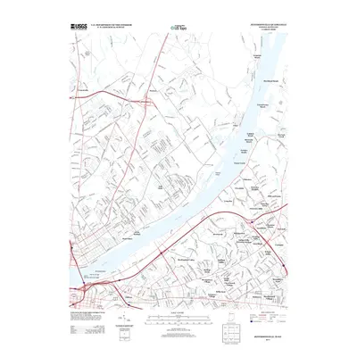
2013 Map of Jeffersonville
USGS Topo · Published 2013About this map
The Ohio River forms the central geographic artery of this landscape, separating the residential expansions of southern Indiana from the established neighborhoods of northern Louisville. On the Indiana shore, the riverfront is characterized by a string of recreational and residential enclaves such as Longview Beach, Gulthrie Beach, and Transylvania Beach. These smaller settlements contrast with the inland hubs of Cementville and Watson, while Utica sits prominently where the river bends. Connectivity between the two states is anchored by the John F Kennedy Memorial Bridge and the Big Four Bridge, illustrating the region's historical reliance on river crossings.
Find a feature on this map
77 named features on this map. Tap any name to fly to it.
Don’t see what you’re looking for? This feature index may not catch every label — zoom into the map to look around manually.
Map Details
Editions of this 2013 Jeffersonville Map
This is the sole edition of this map. No revisions or reprints were ever made.
Other maps of this area

1905 · Prospect
USGS Topo · 1:62,500

1907 · Louisville
USGS Topo · 1:62,500

1909 · Kosmosdale
USGS Topo · 1:48,000

1912 · Prospect
USGS Topo · 1:62,500

1912 · Kosmosdale
USGS Topo · 1:62,500

1937 · Jeffersonville
USGS Topo · 1:24,000

1937 · Charlestown
USGS Topo · 1:24,000

1938 · Owen
USGS Topo · 1:24,000

1938 · Speed
USGS Topo · 1:24,000

1939 · New Albany
USGS Topo · 1:24,000