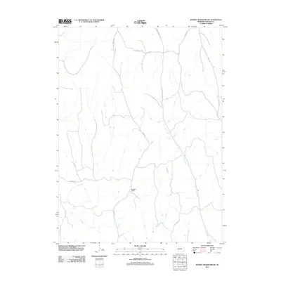
2011 Map of Jeffrey Reservoir SW
USGS Topo · Published 2011About this map
Deer Creek and the intermittent drainage of Dry Creek define the rugged character of this Lincoln County landscape. The terrain is marked by significant topographical relief, including the prominent Dempcy Draw and the course of East Fork Dry Creek. This area of Nebraska reflects a pattern of rural connectivity established along canyon floors and ridgelines, where long-standing local access is provided by routes such as S Snell Rd and Mcclellen Rd.
Find a feature on this map
12 named features on this map. Tap any name to fly to it.
Don’t see what you’re looking for? This feature index may not catch every label — zoom into the map to look around manually.
Map Details
Editions of this 2011 Jeffrey Reservoir SW Map
This is the sole edition of this map. No revisions or reprints were ever made.
Other maps of this area

1902 · Gothenburg
USGS Topo · 1:125,000

1954 · McCook
USGS Topo · 1:250,000

1956 · Jeffrey Reservoir SW
USGS Topo · 1:24,000

1956 · Stockville NE
USGS Topo · 1:24,000

1956 · Moorefield
USGS Topo · 1:24,000

1956 · Curtis
USGS Topo · 1:24,000

1956 · Wellfleet SE
USGS Topo · 1:24,000

1956 · Wellfleet NE
USGS Topo · 1:24,000

1957 · McCook
USGS Topo · 1:250,000

1958 · McCook
USGS Topo · 1:250,000