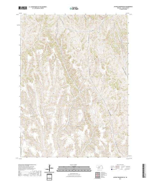
2021 Map of Jeffrey Reservoir SW
USGS Topo · Published 2021About this map
Snell Canyon and Deer Creek Canyon define the intricate drainage patterns of this Lincoln County landscape, where deep canyons and draws cut through the high plains. The map illustrates a network of rural routes and specialized paths including the High Line Trl, Test Loop Trl, and Hornitos Trl near the northern boundary. These trail systems, alongside named thoroughfares like Brady-Moorefield Rd and Snell Canyon Rd, indicate a terrain utilized for both transit and recreation. The placement of Dempcy Draw and Curtis Creek Canyon shows how water has historically shaped the topography, influencing the layout of section lines and the placement of modern infrastructure like Fletcher Rd and Lydic Rd. This survey provides a modern look at the land's natural contours and the essential road network that connects these remote Nebraska canyons.
Find a feature on this map
25 named features on this map. Tap any name to fly to it.
Don’t see what you’re looking for? This feature index may not catch every label — zoom into the map to look around manually.
Map Details
Editions of this 2021 Jeffrey Reservoir SW Map
This is the sole edition of this map. No revisions or reprints were ever made.
Other maps of this area

1902 · Gothenburg
USGS Topo · 1:125,000

1954 · McCook
USGS Topo · 1:250,000

1956 · Jeffrey Reservoir SW
USGS Topo · 1:24,000

1956 · Stockville NE
USGS Topo · 1:24,000

1956 · Moorefield
USGS Topo · 1:24,000

1956 · Curtis
USGS Topo · 1:24,000

1956 · Wellfleet SE
USGS Topo · 1:24,000

1956 · Wellfleet NE
USGS Topo · 1:24,000

1957 · McCook
USGS Topo · 1:250,000

1958 · McCook
USGS Topo · 1:250,000