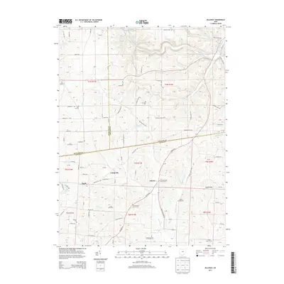
2013 Map of Jelloway
USGS Topo · Published 2013About this map
Jelloway and College Hill sit at the center of this landscape where the borders of Ashland, Richland, and Knox counties converge. The terrain is defined by a dense network of waterways, including Pine Run, Horsetail Run, and Jelloway Cr, which carve through the countryside toward the Clear Fork Mohican River in the north. This 2013 survey illustrates a rural region where land use remains closely tied to the topography of valleys like Doudy Valley and Ireland Valley Farm. Genealogists will find a significant concentration of local history preserved in the numerous country burial grounds, such as the Jelloway Methodist Episcopal Cem and Zion Evangelical Lutheran Cem. The map also captures several smaller landmarks like Schneider Lake and Lake Viering, alongside a complex system of township roads that connect these dispersed agricultural settlements.
Find a feature on this map
88 named features on this map. Tap any name to fly to it.
Don’t see what you’re looking for? This feature index may not catch every label — zoom into the map to look around manually.
Map Details
Editions of this 2013 Jelloway Map
This is the sole edition of this map. No revisions or reprints were ever made.
Other maps of this area

1912 · Loudonville
USGS Topo · 1:62,500

1912 · Gambier
USGS Topo · 1:62,500

1912 · Perrysville
USGS Topo · 1:62,500

1913 · Brinkhaven
USGS Topo · 1:62,500

1914 · Gambier
USGS Topo · 1:62,500

1914 · Loudonville
USGS Topo · 1:62,500

1915 · Brinkhaven
USGS Topo · 1:62,500

1915 · Perrysville
USGS Topo · 1:62,500

1943 · Gambier
USGS Topo · 1:62,500

1943 · Loudonville
USGS Topo · 1:62,500