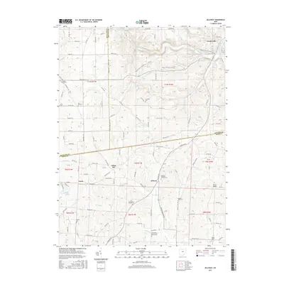
2016 Map of Jelloway
USGS Topo · Published 2016About this map
Loudonville and the winding course of the Clear Fork Mohican River anchor this 2016 survey of the borderlands between Ashland, Knox, and Richland counties. The landscape is defined by the sharp convergence of river valleys and upland ridges, notably where the Black Fork Mohican River joins the Clear Fork. This terrain dictated early settlement patterns, concentrating community life around crossroad hamlets like Jelloway and Nunda.
Find a feature on this map
125 named features on this map. Tap any name to fly to it.
Don’t see what you’re looking for? This feature index may not catch every label — zoom into the map to look around manually.
Map Details
Editions of this 2016 Jelloway Map
This is the sole edition of this map. No revisions or reprints were ever made.
Other maps of this area

1912 · Loudonville
USGS Topo · 1:62,500

1912 · Gambier
USGS Topo · 1:62,500

1912 · Perrysville
USGS Topo · 1:62,500

1913 · Brinkhaven
USGS Topo · 1:62,500

1914 · Gambier
USGS Topo · 1:62,500

1914 · Loudonville
USGS Topo · 1:62,500

1915 · Brinkhaven
USGS Topo · 1:62,500

1915 · Perrysville
USGS Topo · 1:62,500

1943 · Gambier
USGS Topo · 1:62,500

1943 · Loudonville
USGS Topo · 1:62,500