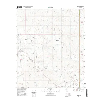
2015 Map of Jena East
USGS Topo · Published 2015About this map
Jena stands at the western edge of this La Salle Parish landscape, where the local road network transitions into the dense creek drainages and timberlands of central Louisiana. Small settlements like Routon and Blade are scattered across the terrain, connected by rural routes such as Blade Loop and Girlinghouse Rd. The area is notably dense with family and community burial grounds, including Pleasant Hill Cem, Dempsey Cem, and Oak Grove Cem, which serve as vital landmarks for genealogists tracing local heritage.
Find a feature on this map
110 named features on this map. Tap any name to fly to it.
Don’t see what you’re looking for? This feature index may not catch every label — zoom into the map to look around manually.
Map Details
Editions of this 2015 Jena East Map
This is the sole edition of this map. No revisions or reprints were ever made.
Other maps of this area

1941 · Manifest
USGS Topo · 1:62,500

1941 · Jena
USGS Topo · 1:62,500

1941 · Harrisonburg
USGS Topo · 1:62,500

1953 · Alexandria
USGS Topo · 1:250,000

1953 · Natchez
USGS Topo · 1:250,000

1955 · Alexandria
USGS Topo · 1:250,000

1955 · Olla
USGS Topo · 1:62,500

1956 · Natchez
USGS Topo · 1:250,000

1958 · Jena
USGS Topo · 1:62,500

1959 · Natchez
USGS Topo · 1:250,000