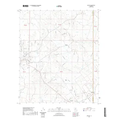
2020 Map of Jena East
USGS Topo · Published 2020About this map
Jena serves as the primary hub on this recent survey, situated where the terrain transitions toward the complex water systems of LaSalle Parish and Catahoula Parish. The map reveals a landscape defined by its creek network, with Hemphill Creek and Rhinehart Creek cutting through the southern sections. Distinctive landmarks such as Poverty Knob and the Sandy Hollow provide topographical context to the area's rural character.
Find a feature on this map
102 named features on this map. Tap any name to fly to it.
Don’t see what you’re looking for? This feature index may not catch every label — zoom into the map to look around manually.
Map Details
Editions of this 2020 Jena East Map
This is the sole edition of this map. No revisions or reprints were ever made.
Other maps of this area

1941 · Manifest
USGS Topo · 1:62,500

1941 · Jena
USGS Topo · 1:62,500

1941 · Harrisonburg
USGS Topo · 1:62,500

1953 · Alexandria
USGS Topo · 1:250,000

1953 · Natchez
USGS Topo · 1:250,000

1955 · Alexandria
USGS Topo · 1:250,000

1955 · Olla
USGS Topo · 1:62,500

1956 · Natchez
USGS Topo · 1:250,000

1958 · Jena
USGS Topo · 1:62,500

1959 · Natchez
USGS Topo · 1:250,000