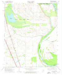
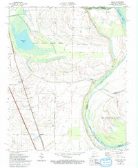
1970 Map of Jericho
USGS Topo · Published 1974About this map
The Mississippi River floodplain along the Tennessee-Arkansas border defines this landscape, dominated by the expansive Wapanocca National Wildlife Refuge. In the western portion of the sheet, the St Louis-San Francisco railroad serves a string of small settlements and industrial points including Clarkedale, Jericho, and James Mill. These communities are surrounded by a complex network of drainage ditches and waterways like Wapanocca Bayou and Fifteenmile Bayou, reflecting the intense hydrological management of the Delta's fertile bottomlands.
Find a feature on this map
28 named features on this map. Tap any name to fly to it.
Don’t see what you’re looking for? This feature index may not catch every label — zoom into the map to look around manually.
Map Details
Editions of this 1970 Jericho Map
2 editions found
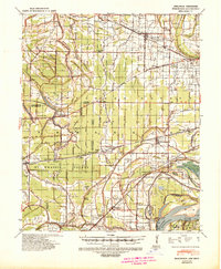
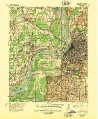
Other maps of this area

1916 · Memphis
USGS Topo · 1:62,500

1925 · Memphis
USGS Topo · 1:48,000

1927 · Memphis
USGS Topo · 1:62,500

1931 · Jericho
USGS Topo · 1:62,500

1939 · Jericho
USGS Topo · 1:62,500
1939 · Edmondson
USGS Topo · 1:62,500
1939 · Memphis
USGS Topo · 1:62,500

1940 · Deckerville
USGS Topo · 1:62,500

1952 · Jericho
USGS Topo · 1:62,500

1953 · Memphis
USGS Topo · 1:250,000