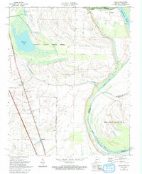
1970 Map of Jericho
USGS Topo · Published 1993About this map
Wapanocca National Wildlife Refuge dominates the upper portion of this map, surrounding the waters of Wapanocca Lake and Wapanocca Bayou. This landscape in eastern Arkansas is defined by an extensive drainage system, where numbered channels like Ditch No 8 and Ditch No 11 cut through the alluvial bottomlands to manage the complex hydrology of the Mississippi River basin. The settlement pattern follows the St Louis San Francisco rail line, which anchors the communities of Clarkedale, Jericho, and James Mill. Small rural churches and family cemeteries are scattered throughout the agricultural tracts, including Jerusalem Ch, Malone Cem, and St Marks Cem. To the east, the state line meanders with the old riverbed, creating geographical curiosities like Beef Island Nos 40 and 41 between the St Francis River (Old River) and Brandywine Chute.
Find a feature on this map
39 named features on this map. Tap any name to fly to it.
Don’t see what you’re looking for? This feature index may not catch every label — zoom into the map to look around manually.
Map Details
Editions of this 1970 Jericho Map
2 editions found
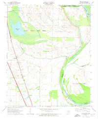
Other maps of this area

1916 · Memphis
USGS Topo · 1:62,500

1925 · Memphis
USGS Topo · 1:48,000

1927 · Memphis
USGS Topo · 1:62,500

1931 · Jericho
USGS Topo · 1:62,500

1939 · Jericho
USGS Topo · 1:62,500

1939 · Edmondson
USGS Topo · 1:62,500

1939 · Memphis
USGS Topo · 1:62,500

1940 · Deckerville
USGS Topo · 1:62,500

1952 · Jericho
USGS Topo · 1:62,500

1953 · Memphis
USGS Topo · 1:250,000