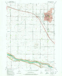
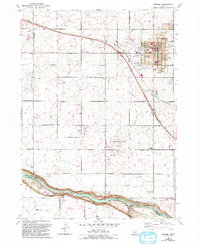
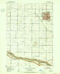
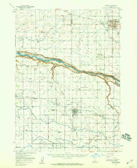
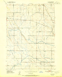
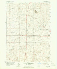
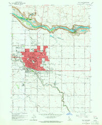
1979 Map of Jerome
USGS Topo · Published 1980About this map
The city of Jerome serves as the focal point of this late 1970s survey, showing its dense grid organized around the Union Pacific rail line and the Jerome Sta. The landscape is a testament to Idaho's high desert reclamation, defined by an intricate network of irrigation including the Pacific Ditch and numerous unnamed irrigation ditches that transform the volcanic plateau. To the south, the terrain drops dramatically into the Snake River canyon, where Auger Falls and various Springs emerge along the riverbanks near the Gooding, Jerome, and Twin Falls county boundaries.
Find a feature on this map
32 named features on this map. Tap any name to fly to it.
Don’t see what you’re looking for? This feature index may not catch every label — zoom into the map to look around manually.
Map Details
Editions of this 1979 Jerome Map
2 editions found
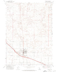
Other maps of this area
1950 · Niagara Springs
USGS Topo · 1:24,000
1950 · Filer
USGS Topo · 1:24,000
1950 · Jerome
USGS Topo · 1:24,000
1950 · Jerome
USGS Topo · 1:62,500
1951 · Clover
USGS Topo · 1:24,000

1955 · Twin Falls
USGS Topo · 1:250,000

1958 · Twin Falls
USGS Topo · 1:250,000
1964 · Falls City
USGS Topo · 1:24,000
1964 · Twin Falls
USGS Topo · 1:24,000
1971 · Wendell
USGS Topo · 1:24,000