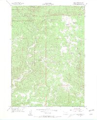
1955 Map of Jewel Cave
USGS Topo · Published 1956About this map
Jewel Cave National Monument and the surrounding Black Hills National Forest are documented here during a period of active cattle ranching and early atomic-era survey. The landscape is defined by deep incisions like Hell Canyon, Tepee Canyon, and Lithograph Canyon, which dictate the placement of local infrastructure. Small-scale industry and education are visible through the King Tut Mine, Stapp Quarry, and the Bull Flats Sch.
Find a feature on this map
29 named features on this map. Tap any name to fly to it.
Don’t see what you’re looking for? This feature index may not catch every label — zoom into the map to look around manually.
Map Details
Editions of this 1955 Jewel Cave Map
3 editions found
Other maps of this area

1896 · Harney Peak
USGS Topo · 1:125,000

1901 · Harney Peak
USGS Topo · 1:125,000

1954 · Fourmile
USGS Topo · 1:24,000

1954 · Berne
USGS Topo · 1:24,000

1954 · Jewel Cave SE
USGS Topo · 1:24,000
1954 · Jewel Cave SW
USGS Topo · 1:24,000

1955 · Dead Horse Flats
USGS Topo · 1:24,000

1955 · Jewel Cave NW
USGS Topo · 1:24,000

1955 · Jewel Cave
USGS Topo · 1:24,000
1955 · Argyle
USGS Topo · 1:24,000