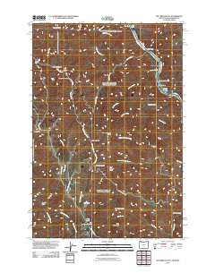
2011 Map of Jim Creek Butte
USGS Topo · Published 2011About this map
The Snake River carves a deep boundary along the northeastern edge of this Idaho-Washington borderland, revealing a landscape defined by dramatic elevation changes and seasonal ranching history. Named riverside features like Cochran Islands and Cougar Rapids Bar indicate the waterway's power, while the interior is dominated by high summits such as Mount Wilson and Jim Creek Butte. Evidence of livestock management and early settlement persists in the form of the Jim Creek Ranch and Cold Spring Cow Camp, which are linked by remote forest routes including Nat For Dev Rd 4680. This high-desert terrain is marked by a complex network of drainages like North Fork Jim Creek and South Fork Jim Creek, as well as named landmarks like China Garden and the Baldwin Area that speak to the localized human geography of Nez Perce County.
Find a feature on this map
48 named features on this map. Tap any name to fly to it.
Don’t see what you’re looking for? This feature index may not catch every label — zoom into the map to look around manually.
Map Details
Editions of this 2011 Jim Creek Butte Map
This is the sole edition of this map. No revisions or reprints were ever made.
Other maps of this area

1944 · Anatone
USGS Topo · 1:62,500

1946 · Limekiln Rapids
USGS Topo · 1:62,500

1946 · Anatone
USGS Topo · 1:62,500

1955 · Pullman
USGS Topo · 1:250,000

1955 · Grangeville
USGS Topo · 1:250,000

1958 · Pullman
USGS Topo · 1:250,000

1959 · Grangeville
USGS Topo · 1:250,000

1963 · Deadhorse Ridge
USGS Topo · 1:24,000

1963 · Jim Creek Butte
USGS Topo · 1:24,000

1963 · Wapshilla Creek
USGS Topo · 1:24,000