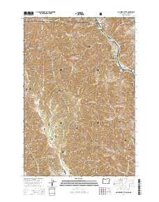
2014 Map of Jim Creek Butte
USGS Topo · Published 2014About this map
The Snake River carves a deep path through this borderland, where the boundaries of Idaho, Oregon, and Washington converge. This 2014 survey details the complex topography within the Wallowa National Forest, dominated by high points like Jim Creek Butte and Frog Pond Butte. The river corridor itself is marked by distinctive navigation points such as the Cochran Islands and Cochran Rapids, reflecting a landscape defined by sharp elevation changes from the water to the heights of Cold Spring Ridge and Dry Creek Ridge.
Find a feature on this map
61 named features on this map. Tap any name to fly to it.
Don’t see what you’re looking for? This feature index may not catch every label — zoom into the map to look around manually.
Map Details
Editions of this 2014 Jim Creek Butte Map
This is the sole edition of this map. No revisions or reprints were ever made.
Other maps of this area

1944 · Anatone
USGS Topo · 1:62,500

1946 · Limekiln Rapids
USGS Topo · 1:62,500

1946 · Anatone
USGS Topo · 1:62,500

1955 · Pullman
USGS Topo · 1:250,000

1955 · Grangeville
USGS Topo · 1:250,000

1958 · Pullman
USGS Topo · 1:250,000

1959 · Grangeville
USGS Topo · 1:250,000

1963 · Deadhorse Ridge
USGS Topo · 1:24,000

1963 · Jim Creek Butte
USGS Topo · 1:24,000

1963 · Wapshilla Creek
USGS Topo · 1:24,000