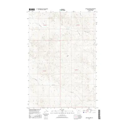
2017 Map of John Hen Creek
USGS Topo · Published 2017About this map
John Hen Cr defines the drainage of this Rosebud County landscape, where the high plains of eastern Montana are carved by seasonal watercourses. The terrain is dominated by the distinct elevation of Gobblers Knob, which rises amidst a network of intermittent streams including Cherry Cr, Snider Cr, and Cottonwood Cr. The map captures a largely unpopulated area of Big Sky Country where the primary evidence of human presence is found in the scattered ranch roads and lanes that follow the natural contours of the land.
Find a feature on this map
18 named features on this map. Tap any name to fly to it.
Don’t see what you’re looking for? This feature index may not catch every label — zoom into the map to look around manually.
Map Details
Editions of this 2017 John Hen Creek Map
This is the sole edition of this map. No revisions or reprints were ever made.
Other maps of this area

1954 · Hardin
USGS Topo · 1:250,000

1954 · Forsyth
USGS Topo · 1:250,000

1957 · Hardin
USGS Topo · 1:250,000

1957 · Forsyth
USGS Topo · 1:250,000

1958 · Forsyth
USGS Topo · 1:250,000

1958 · Hardin
USGS Topo · 1:250,000
1969 · Miller Creek SW
USGS Topo · 1:24,000
1971 · Brandenberg NW
USGS Topo · 1:24,000

1971 · Hammond Draw NW
USGS Topo · 1:24,000

1971 · Hammond Draw
USGS Topo · 1:24,000