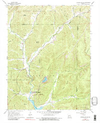
1968 Map of Johnson Shut-Ins
USGS Topo · Published 1991About this map
Johnson Shut-Ins State Park anchors this landscape in the late 1960s, where the East Fork Black River carves through the ancient geology of the St. Francois Mountains. This era is defined by the massive engineering of the Taum Sauk Pumped-Storage Hydroelectric Powerplant, featuring the Upper Reservoir atop Proffit Mountain and the Lower Reservoir below. The map captures a transition between industry and recreation, with the Taum Sauk Nature Museum and the rugged Taum Sauk Trail drawing visitors to the same heights once dominated by timber and mining.
Find a feature on this map
41 named features on this map. Tap any name to fly to it.
Don’t see what you’re looking for? This feature index may not catch every label — zoom into the map to look around manually.
Map Details
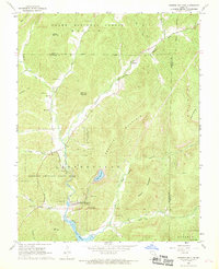
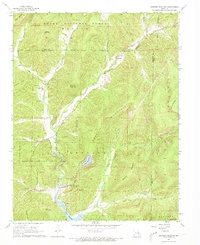
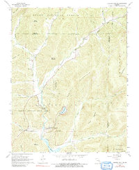
Editions of this 1968 Johnson Shut-Ins Map
4 editions found
Other maps of this area

1924 · Edgehill
USGS Topo · 1:62,500

1926 · Edgehill
USGS Topo · 1:62,500

1926 · Des Arc
USGS Topo · 1:62,500

1929 · Des Arc
USGS Topo · 1:62,500

1937 · Ironton
USGS Topo · 1:48,000

1943 · Lesterville
USGS Topo · 1:62,500

1945 · Ironton
USGS Topo · 1:62,500

1946 · Lesterville
USGS Topo · 1:62,500

1946 · Ironton
USGS Topo · 1:62,500

1949 · Rolla
USGS Topo · 1:250,000