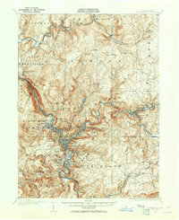
1981 Map of Johnstown
USGS Topo · Published 1983About this map
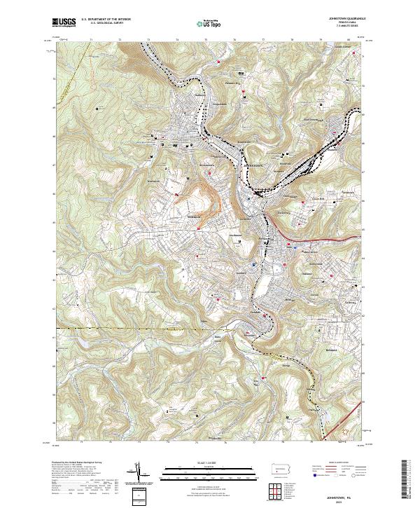
Johnstown and the Conemaugh River valley dominate the western reaches of this 1980s landscape, illustrating the industrial and residential density of the Allegheny Plateau. The terrain is defined by the sharp transition at the Allegheny Front, where the high plateau drops toward the ridge-and-valley province to the east. This structural divide separates the coal and steel heritage of Windber and Nanty Glo from the agricultural and recreational corridors of Morrison Cove and the vast Raystown Lake.
Find a feature on this map
282 named features on this map. Tap any name to fly to it.
Don’t see what you’re looking for? This feature index may not catch every label — zoom into the map to look around manually.
Map Details
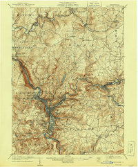
Editions of this 1981 Johnstown Map
This is the sole edition of this map. No revisions or reprints were ever made.
Historical Maps of Altoona Through Time
6 maps found