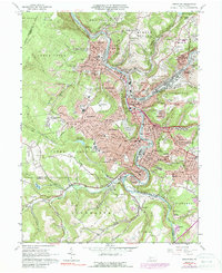
2023 Map of Johnstown
USGS Topo · Published 2023About this map
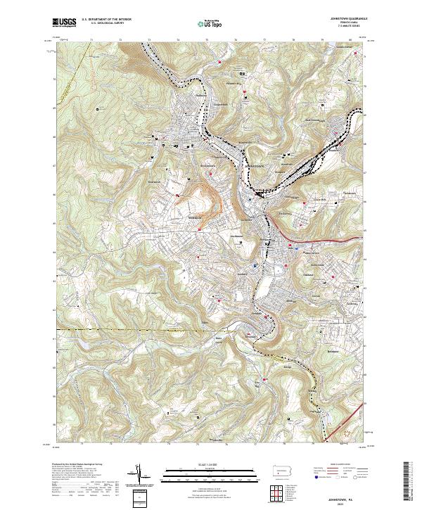
The confluence of the Conemaugh River and the Stonycreek River anchors this detailed study of Johnstown and its surrounding boroughs. The map illustrates a dense urban and industrial corridor carved into the valley, where the Little Conemaugh River joins the main stem near Franklin. The steep hillsides are defined by numerous ethnic and religious landmarks, reflecting the city’s deep immigrant history through sites like Saint Nicholas Serbian Orthodox Church Cem and Saint Marys Byzantine Catholic Cem.
Find a feature on this map
104 named features on this map. Tap any name to fly to it.
Don’t see what you’re looking for? This feature index may not catch every label — zoom into the map to look around manually.
Map Details
Editions of this 2023 Johnstown Map
This is the sole edition of this map. No revisions or reprints were ever made.
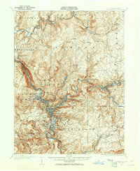
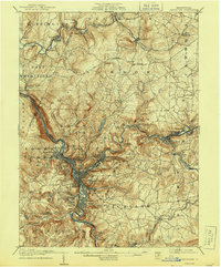
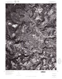
Historical Maps of Ingleside Through Time
6 maps found