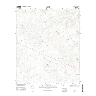
2016 Map of Johnsville
USGS Topo · Published 2016About this map
The community of Johnsville serves as a focal point for this rural landscape in Erath County, situated where the Duffau Hwy and several county roads converge. The area is defined by a dendritic drainage network, with Duffau Cr and Sycamore Cr cutting through the terrain. Evidence of long-standing settlement is found in family and community burial grounds, including Humberson Cem, Aycock Cem, and Hatchett Cem, which provide valuable location data for genealogists and local historians. To the west, the village of Selden sits near the headwaters of Sims Cr. The landscape is dotted with small impoundments such as Warren Lake Number 1 and Cross Lake, while prominent elevations like Bunker Hill and Lone Mtn break the horizon, anchoring the topography of the Texas Cross Timbers region.
Find a feature on this map
60 named features on this map. Tap any name to fly to it.
Don’t see what you’re looking for? This feature index may not catch every label — zoom into the map to look around manually.
Map Details
Editions of this 2016 Johnsville Map
This is the sole edition of this map. No revisions or reprints were ever made.
Other maps of this area

1889 · Granbury
USGS Topo · 1:125,000

1890 · Stephenville
USGS Topo · 1:125,000

1920 · Stephenville
USGS Topo · 1:125,000

1931 · Tolar
USGS Topo · 1:62,500

1954 · Dallas
USGS Topo · 1:250,000

1954 · Abilene
USGS Topo · 1:250,000

1958 · Dallas
USGS Topo · 1:250,000

1958 · Abilene
USGS Topo · 1:250,000

1961 · Johnsville
USGS Topo · 1:24,000
1961 · Alexander
USGS Topo · 1:24,000