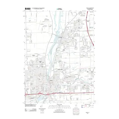
2012 Map of Joliet
USGS Topo · Published 2012About this map
Lewis University and Lewis University Airport dominate the northern landscape of this region, while the Des Plaines River serves as the central geographic spine through Lockport and Joliet. This survey documents a highly developed urban and industrial corridor in Will County, punctuated by a dense concentration of civic institutions and memorial sites. The abundance of religious and community cemeteries, such as Saint Joseph Cem, Mount Calvary Cem, and the distinctive Mound Cem, provides significant data for genealogical research. Further south, the map details the expansion of residential and educational hubs, including Joliet Junior College and the University of Saint Francis. The transport infrastructure is clearly defined, from the rail lines at Rockdale Junction to the recreation-focused terrain of the Broken Arrow Golf Course, illustrating the modern evolution of these Illinois river cities.
Find a feature on this map
113 named features on this map. Tap any name to fly to it.
Don’t see what you’re looking for? This feature index may not catch every label — zoom into the map to look around manually.
Map Details
Editions of this 2012 Joliet Map
This is the sole edition of this map. No revisions or reprints were ever made.
Other maps of this area

1890 · Des Plaines
USGS Topo · 1:62,500

1892 · Joliet
USGS Topo · 1:62,500

1892 · Wilmington
USGS Topo · 1:62,500

1894 · Des Plaines
USGS Topo · 1:62,500

1900 · Des Plaines
USGS Topo · 1:62,500

1901 · Des Plaines
USGS Topo · 1:62,500

1918 · Wilmington
USGS Topo · 1:62,500

1923 · Joliet
USGS Topo · 1:62,500

1928 · Sag Bridge
USGS Topo · 1:24,000

1929 · Brisbane
USGS Topo · 1:24,000