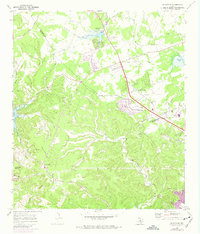
1968 Map of Jollyville
USGS Topo · Published 1974About this map
The Jollyville Plateau dominates this late-1960s landscape north of Austin, where the transitions of the Texas Hill Country meet the expanding suburban frontier. Centered on the community of Jollyville, the map records several family-named burial grounds including Pond Springs Cem, Rhodes Cem, and Jollyville Cem, serving as a vital resource for genealogical research. The Southern Pacific railroad cuts through the northeastern corner near Rutledge, while the emergence of the Balcones Country Club and early residential subdivisions in purple tint signal the region's rapid development. The topography is defined by the steep canyons of West Bull Creek and Cypress Creek, flowing toward the western edge where the map captures a portion of Lake Travis. Unique local landmarks like the State Hog Farm and the Drive-in Theater appear alongside historical transit corridors like Anderson Mill Road and Spicewood Springs Road.
Find a feature on this map
47 named features on this map. Tap any name to fly to it.
Don’t see what you’re looking for? This feature index may not catch every label — zoom into the map to look around manually.
Map Details
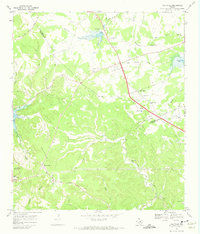
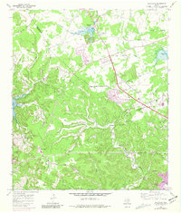
Editions of this 1968 Jollyville Map
Other maps of this area

1893 · Georgetown
USGS Topo · 1:125,000

1896 · Austin
USGS Topo · 1:125,000

1897 · Austin
USGS Topo · 1:125,000

1910 · Austin
USGS Topo · 1:125,000

1928 · Round Rock
USGS Topo · 1:62,500

1930 · Austin-2
USGS Topo · 1:48,000

1932 · Mt. Bonnell
USGS Topo · 1:62,500

1949 · Round Rock
USGS Topo · 1:62,500

1951 · Round Rock
USGS Topo · 1:62,500

1954 · Austin East
USGS Topo · 1:24,000