
1950 Map of Jones Bay
USGS Topo · Published 1952About this map
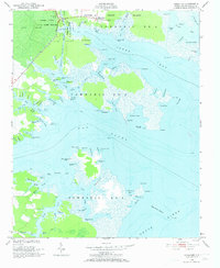
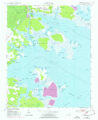
Hobucken and the adjacent Spencer settlement anchor this coastal landscape where the Intracoastal Waterway cuts through the marshy terrain of Township No 4. This 1950s survey captures a critical nexus of water and land, showing a US Coast Guard Reservation positioned near the intersection of Goose Creek and the federal waterway project. The area is dominated by extensive wetlands, including the State Game Refuge and Cum Swamp, which transition into the wide reaches of Bonner Bay and the Neuse River. Coastal infrastructure is evidenced by Bills Creek Landing and numerous named points like Gale Creek Point and Maw Point. Genealogists may find interest in the isolated Cem near the northern boundary, while the detailed soundings and shoal markers like Maw Point Shoal provide a clear picture of mid-century maritime navigation and the intricate shoreline of Pamlico County.
Find a feature on this map
100 named features on this map. Tap any name to fly to it.
Don’t see what you’re looking for? This feature index may not catch every label — zoom into the map to look around manually.
Map Details
Editions of this 1950 Jones Bay Map
4 editions found
Other maps of this area

1948 · Oriental
USGS Topo · 1:24,000

1949 · Point Of Marsh
USGS Topo · 1:24,000

1950 · Point Of Marsh
USGS Topo · 1:24,000

1950 · Vandemere
USGS Topo · 1:24,000

1950 · Lowland
USGS Topo · 1:24,000

1950 · South Creek
USGS Topo · 1:24,000

1951 · Brant Island
USGS Topo · 1:24,000

1951 · Broad Creek
USGS Topo · 1:24,000

1951 · Pamlico Point
USGS Topo · 1:24,000

1953 · Rocky Mount
USGS Topo · 1:250,000